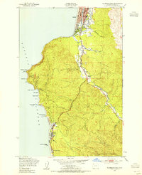
1949 Map of Tillamook Head
USGS Topo · Published 1966About this map
The coastal community of Seaside and the dramatic headlands of the northern Oregon coast are documented here just after the war years. The landscape is defined by the sharp transition from the Pacific Ocean to the steep terrain of Tillamook Head, where the Ecola State Park occupies a significant portion of the coastline. Inland, the Necanicum River and Neawanna Creek meander through the lowlands, shaping the development of Seaside and its southern neighbor, Cannon Beach Junction.
Find a feature on this map
34 named features on this map. Tap any name to fly to it.
Don’t see what you’re looking for? This feature index may not catch every label — zoom into the map to look around manually.
Map Details
Editions of this 1949 Tillamook Head Map
3 editions found
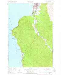
Other maps of this area

1919 · Astoria
USGS Topo · 1:62,500

1939 · Astoria
USGS Topo · 1:62,500

1940 · Cape Falcon
USGS Topo · 1:62,500

1943 · Copalis Beach
USGS Topo · 1:250,000

1948 · Vancouver
USGS Topo · 1:250,000

1949 · Tillamook Head
USGS Topo · 1:24,000

1949 · Gearhart
USGS Topo · 1:24,000
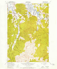
1949 · Olney
USGS Topo · 1:24,000

1950 · Vancouver
USGS Topo · 1:250,000

1950 · Vancouver
USGS Topo · 1:250,000