
1955 Map of Tillamook
USGS Topo · Published 1957About this map
Tillamook serves as the focal point of this mid-century survey, situated at the confluence of the Wilson River, Trask River, and Tillamook River before they reach the expanse of Tillamook Bay. The landscape reflects a diverse coastal economy, featuring the famous Cheese Factory and the Southern Pacific railroad lines that connected the dairy and timber industries to wider markets. To the south, the Naval Air Station indicates the area's continued strategic importance following the war years.
Find a feature on this map
82 named features on this map. Tap any name to fly to it.
Don’t see what you’re looking for? This feature index may not catch every label — zoom into the map to look around manually.
Map Details
Editions of this 1955 Tillamook Map
3 editions found
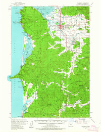
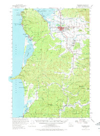
Other maps of this area

1937 · Nehalem
USGS Topo · 1:62,500

1937 · Enright
USGS Topo · 1:62,500

1941 · Nestucca Bay
USGS Topo · 1:62,500

1941 · Enright
USGS Topo · 1:62,500

1942 · Ginger Peak
USGS Topo · 1:62,500

1942 · Spirit Mtn
USGS Topo · 1:62,500

1942 · Nestucca Bay
USGS Topo · 1:62,500

1942 · Tillamook
USGS Topo · 1:62,500

1943 · Nehalem
USGS Topo · 1:62,500

1948 · Vancouver
USGS Topo · 1:250,000