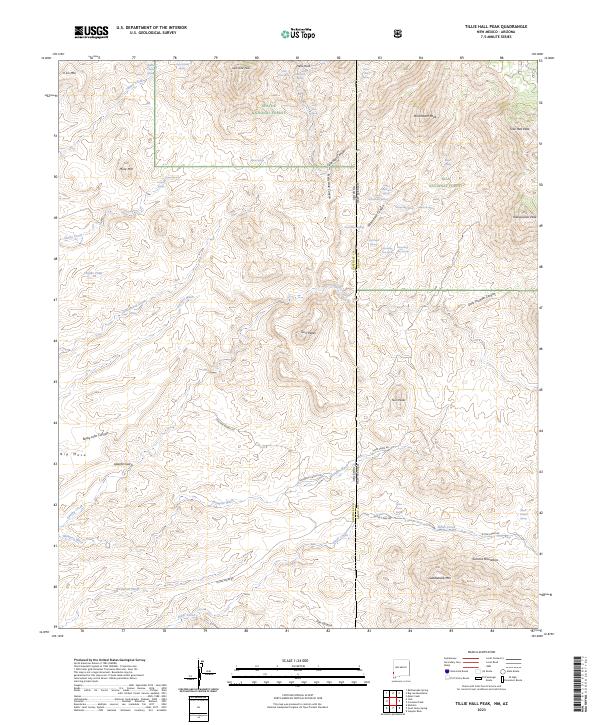
2023 Map of Tillie Hall Peak
USGS Topo · Published 2023About this map
The Apache National Forest and Gila National Forest meet at the high-elevation divide where New Mexico and Arizona share a border. This landscape is defined by its complex drainage network and prominent summits, including Tillie Hall Peak and Hells Hole Peak. Named springs such as Tom Osher Springs and Branding Iron Spring are scattered throughout the deep incisions of Tillie Hall Canyon and Winchester Canyon. In the southern portion of the sheet, the terrain opens into broader features like Big Mesa and the Summit Mountains. The presence of roads such as Stauffer Ranch Rd and Goodner Ranch Rd indicates the localized ranching history that persists in this otherwise remote mountainous region. Modern hydrographic data traces the path of Bitter Creek and numerous seasonal washes like Wampoo Wash and Kaywood Wash.
Find a feature on this map
53 named features on this map. Tap any name to fly to it.
Don’t see what you’re looking for? This feature index may not catch every label — zoom into the map to look around manually.
Map Details
Editions of this 2023 Tillie Hall Peak Map
This is the sole edition of this map. No revisions or reprints were ever made.
Other maps of this area

1910 · Mogollon
USGS Topo · 1:125,000

1912 · Mogollon
USGS Topo · 1:125,000

1913 · Morenci
USGS Topo · 1:125,000

1915 · Morenci
USGS Topo · 1:125,000

1954 · Silver City
USGS Topo · 1:250,000

1954 · Clifton
USGS Topo · 1:250,000

1957 · Clifton
USGS Topo · 1:250,000

1958 · Silver City
USGS Topo · 1:250,000

1958 · Clifton
USGS Topo · 1:250,000

1959 · Steeple Rock
USGS Topo · 1:62,500