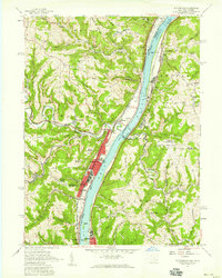
1957 Map of Tiltonsville
USGS Topo · Published 1959About this map
The Ohio River corridor serves as the industrial and transportation spine of this region during the late 1950s, separating the manufacturing towns of Jefferson County, Ohio, from the riverfront communities of Brooke County, West Virginia. The riverbanks are heavily developed with the Pennsylvania and New York Central railroads flanking the water, supporting the heavy industry concentrated in Tiltonsville and Yorkville. Inland, the terrain rises sharply into the plateau, where the landscape shifts from industrial valley to a network of rural settlements and churches.
Find a feature on this map
66 named features on this map. Tap any name to fly to it.
Don’t see what you’re looking for? This feature index may not catch every label — zoom into the map to look around manually.
Map Details
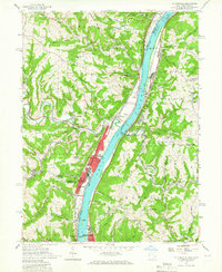
Editions of this 1957 Tiltonsville Map
2 editions found
Other maps of this area

1901 · Cadiz
USGS Topo · 1:62,500

1902 · Wheeling
USGS Topo · 1:62,500

1903 · Cadiz
USGS Topo · 1:62,500

1904 · Steubenville
USGS Topo · 1:62,500

1905 · St. Clairsville
USGS Topo · 1:62,500

1935 · Wheeling
USGS Topo · 1:62,500

1935 · Steubenville
USGS Topo · 1:62,500

1942 · Wheeling
USGS Topo · 1:62,500

1942 · Steubenville
USGS Topo · 1:62,500

1951 · Canton
USGS Topo · 1:250,000