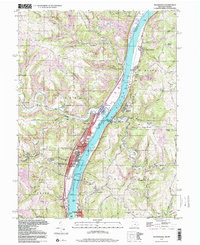
1997 Map of Tiltonsville
USGS Topo · Published 2000About this map
Industrial and aviation infrastructure lines the banks of the Ohio River in this late-twentieth-century study of the borderlands between Ohio and West Virginia. The river valley serves as a dense corridor for transport and industry, featuring the Wheeling and Lake Erie RR and the massive Pike Island Lock and Dam. On the Ohio side, the steel-town character of Tiltonsville and Yorkville is evident, while the West Virginia heights are dominated by the Wheeling-Ohio County Airport. Historical landmarks are preserved amidst the modern utility, including the Betty Zane Mon and several hilltop houses of worship like Rush Run Chapel and Chapel Hill Ch. The map captures the specialized geography of the river towns, where narrow strips of development like Warrenton and Rayland are squeezed between the water and the steep slopes of Chestnut Ridge.
Find a feature on this map
63 named features on this map. Tap any name to fly to it.
Don’t see what you’re looking for? This feature index may not catch every label — zoom into the map to look around manually.
Map Details
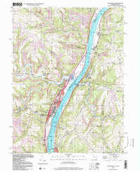
Editions of this 1997 Tiltonsville Map
2 editions found
Other maps of this area

1901 · Cadiz
USGS Topo · 1:62,500

1902 · Wheeling
USGS Topo · 1:62,500

1903 · Cadiz
USGS Topo · 1:62,500

1904 · Steubenville
USGS Topo · 1:62,500

1905 · St. Clairsville
USGS Topo · 1:62,500

1935 · Wheeling
USGS Topo · 1:62,500

1935 · Steubenville
USGS Topo · 1:62,500

1942 · Wheeling
USGS Topo · 1:62,500

1942 · Steubenville
USGS Topo · 1:62,500

1951 · Canton
USGS Topo · 1:250,000