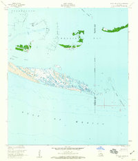
1953 Map of Timbalier Island
USGS Topo · Published 1959About this map
Timbalier Island and its surrounding coastal waters reflect the mid-century industrial development of the Louisiana Gulf Coast. The landscape is defined by the Caillou Island Oil Field, a dense network of infrastructure including a Radio Tower, Oil Tanks, and scattered Oil Wells positioned amidst the marshy terrain and shallow waters. This era shows the convergence of natural barrier islands and active petroleum extraction, with navigation maintained through Caillou Pass and Little Pass Timbalier. Smaller landforms such as Brush Island, Casse-tete, and the Pelican Islands sit between the open Gulf of Mexico and the protected waters of Terrebonne Bay and Timbalier Bay. The map captures a specific moment in the shifting geography of these islands, before decades of coastal erosion and industrial expansion further altered their profiles.
Find a feature on this map
19 named features on this map. Tap any name to fly to it.
Don’t see what you’re looking for? This feature index may not catch every label — zoom into the map to look around manually.
Map Details
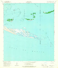
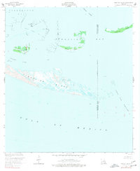
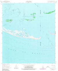
Editions of this 1953 Timbalier Island Map
4 editions found
Other maps of this area

1894 · Timbalier
USGS Topo · 1:62,500

1935 · Timbalier Island
USGS Topo · 1:31,680

1935 · Pelican Pass
USGS Topo · 1:31,680

1935 · Calumet Island
USGS Topo · 1:31,680

1945 · Lake La Graisse
USGS Topo · 1:31,680

1945 · New Orleans
USGS Topo · 1:250,000

1946 · Lake La Graisse
USGS Topo · 1:31,680

1947 · Jacko Bay
USGS Topo · 1:31,680
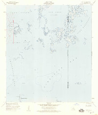
1953 · Jacko Bay
USGS Topo · 1:24,000
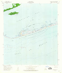
1953 · Calumet Island
USGS Topo · 1:24,000