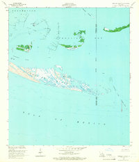
1953 Map of Timbalier Island
USGS Topo · Published 1966About this map
Timbalier Island stands as a prominent barrier feature between the open Gulf of Mexico and the shallow waters of Timbalier Bay. This mid-century survey reveals an landscape defined by the burgeoning energy industry, with an extensive Oil Field established north of the main island. The map details the intricate infrastructure of the era, including numerous Oil Tanks, a lone Oil Well, and a Radio Tower positioned near Caillou Island. The shifting geography of the Louisiana coast is evident in the fragmented shapes of the Pelican Islands and Casse-tete Island, while deep channels like Caillou Pass and Little Pass Timbalier mark the tidal exchanges of the gulf. This document captures the intersection of natural coastal geomorphology and the industrial footprint required to extract resources from the marsh and sea.
Find a feature on this map
17 named features on this map. Tap any name to fly to it.
Don’t see what you’re looking for? This feature index may not catch every label — zoom into the map to look around manually.
Map Details
Editions of this 1953 Timbalier Island Map
4 editions found
Other maps of this area

1894 · Timbalier
USGS Topo · 1:62,500

1935 · Timbalier Island
USGS Topo · 1:31,680

1935 · Pelican Pass
USGS Topo · 1:31,680

1935 · Calumet Island
USGS Topo · 1:31,680

1945 · Lake La Graisse
USGS Topo · 1:31,680

1945 · New Orleans
USGS Topo · 1:250,000

1946 · Lake La Graisse
USGS Topo · 1:31,680

1947 · Jacko Bay
USGS Topo · 1:31,680
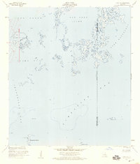
1953 · Jacko Bay
USGS Topo · 1:24,000
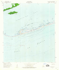
1953 · Calumet Island
USGS Topo · 1:24,000