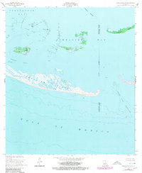
1953 Map of Timbalier Island
USGS Topo · Published 1980About this map
Timbalier Island and its surrounding barrier features stand at the edge of the Gulf of Mexico, defining the boundary between the open sea and the protected waters of Timbalier Bay. In the mid-1950s, the landscape was heavily influenced by the offshore petroleum industry, notably at the Caillou Island Oil Field, which is marked by extensive networks of platforms, dolphins, and pilling.
Find a feature on this map
16 named features on this map. Tap any name to fly to it.
Don’t see what you’re looking for? This feature index may not catch every label — zoom into the map to look around manually.
Map Details
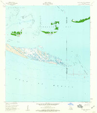
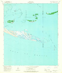
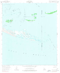
Editions of this 1953 Timbalier Island Map
4 editions found
Other maps of this area

1894 · Timbalier
USGS Topo · 1:62,500

1935 · Timbalier Island
USGS Topo · 1:31,680

1935 · Pelican Pass
USGS Topo · 1:31,680

1935 · Calumet Island
USGS Topo · 1:31,680

1945 · Lake La Graisse
USGS Topo · 1:31,680

1945 · New Orleans
USGS Topo · 1:250,000

1946 · Lake La Graisse
USGS Topo · 1:31,680

1947 · Jacko Bay
USGS Topo · 1:31,680
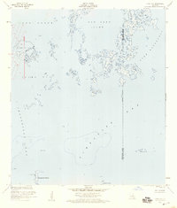
1953 · Jacko Bay
USGS Topo · 1:24,000
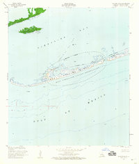
1953 · Calumet Island
USGS Topo · 1:24,000