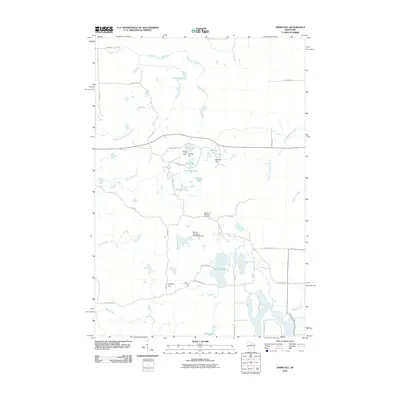
2010 Map of Timms Hill
USGS Topo · Published 2010About this map
Timms Hill stands as the geographic centerpiece of this northern Wisconsin landscape, distinguished by its elevation and the presence of the Ogema Fire Tower. The terrain is defined by a dense concentration of glacial kettles and moraine features, manifesting as a complex network of small water bodies like Thirtyfive Lakes, Timms Lake, and Hultman Lake. These waters feed into the Mondeaux Creek and Spirit River systems, illustrating the natural drainage patterns of Taylor County.
Find a feature on this map
43 named features on this map. Tap any name to fly to it.
Don’t see what you’re looking for? This feature index may not catch every label — zoom into the map to look around manually.
Map Details
Editions of this 2010 Timms Hill Map
This is the sole edition of this map. No revisions or reprints were ever made.
Other maps of this area
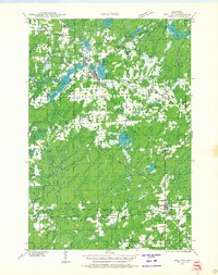
1941 · Phillips
USGS Topo · 1:48,000
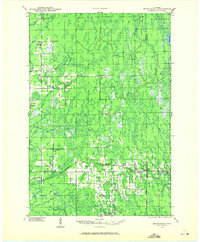
1941 · Brantwood
USGS Topo · 1:48,000
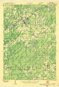
1943 · Philliips
USGS Topo · 1:48,000
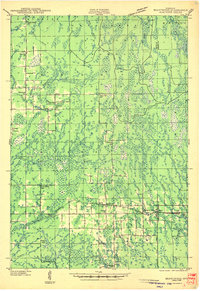
1943 · Brantwood
USGS Topo · 1:48,000
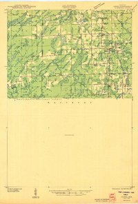
1944 · Ogema
USGS Topo · 1:48,000
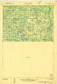
1945 · Rib Lake
USGS Topo · 1:48,000
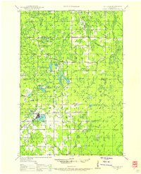
1947 · Rib Lake
USGS Topo · 1:48,000
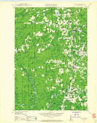
1947 · Ogema
USGS Topo · 1:48,000
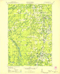
1949 · Ogema
USGS Topo · 1:48,000
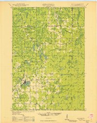
1949 · Rib Lake
USGS Topo · 1:48,000