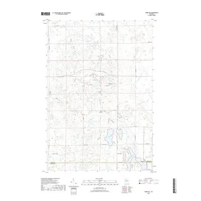
2018 Map of Timms Hill
USGS Topo · Published 2018About this map
Timms Hill, Wisconsin's highest natural point, anchors this topographical study of the Northwoods at the boundary of Price and Taylor Counties. The landscape is a glacial mosaic of kettle lakes and drainage systems, where the Spirit River and its N Fork Spirit River feed into the expansive waters of North Spirit Lake and Spirit Lake. This 2018 survey reveals a terrain defined by significant elevations like Pearson Hill and Spokes Hill, alongside a complex network of small water bodies including Thirtyfive Lakes and Hultman Lake. Human presence is marked by rural infrastructure such as Co Hwy C and the Garden of Memory Cem, while the intricate shoreline of Meadow Lake and Bergeson Lake illustrates the region's dense hydrography. The map provides a precise look at the modern forest and lake ecology before the headwaters of Mondeaux Cr.
Find a feature on this map
59 named features on this map. Tap any name to fly to it.
Don’t see what you’re looking for? This feature index may not catch every label — zoom into the map to look around manually.
Map Details
Editions of this 2018 Timms Hill Map
This is the sole edition of this map. No revisions or reprints were ever made.
Other maps of this area

1941 · Phillips
USGS Topo · 1:48,000

1941 · Brantwood
USGS Topo · 1:48,000

1943 · Philliips
USGS Topo · 1:48,000

1943 · Brantwood
USGS Topo · 1:48,000

1944 · Ogema
USGS Topo · 1:48,000

1945 · Rib Lake
USGS Topo · 1:48,000

1947 · Rib Lake
USGS Topo · 1:48,000

1947 · Ogema
USGS Topo · 1:48,000

1949 · Ogema
USGS Topo · 1:48,000

1949 · Rib Lake
USGS Topo · 1:48,000