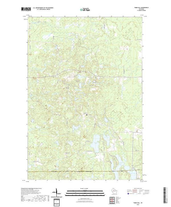
2022 Map of Timms Hill
USGS Topo · Published 2022About this map
Timms Hill rises as the central landmark of this glaciated terrain along the border of Price and Taylor counties. The landscape is defined by a dense network of kettle lakes and wetlands, including Thirtyfive Lakes and the larger Hultman Lake, which drain through numerous small waterways like Alcohol Cr and Mondeaux Cr. The distribution of rural roads such as Ring School Rd and Pikes Peak Rd reveals a settlement pattern focused on the high ground between these basins.
Find a feature on this map
63 named features on this map. Tap any name to fly to it.
Don’t see what you’re looking for? This feature index may not catch every label — zoom into the map to look around manually.
Map Details
Editions of this 2022 Timms Hill Map
This is the sole edition of this map. No revisions or reprints were ever made.
Other maps of this area
1941 · Phillips
USGS Topo · 1:48,000
1941 · Brantwood
USGS Topo · 1:48,000
1943 · Philliips
USGS Topo · 1:48,000
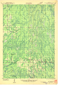
1943 · Brantwood
USGS Topo · 1:48,000
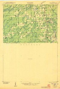
1944 · Ogema
USGS Topo · 1:48,000
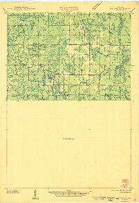
1945 · Rib Lake
USGS Topo · 1:48,000
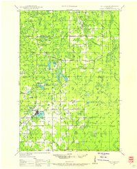
1947 · Rib Lake
USGS Topo · 1:48,000
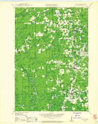
1947 · Ogema
USGS Topo · 1:48,000
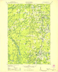
1949 · Ogema
USGS Topo · 1:48,000
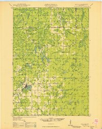
1949 · Rib Lake
USGS Topo · 1:48,000