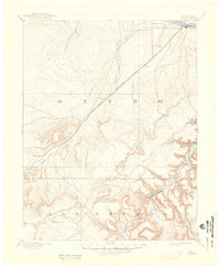
1894 Map of Timpas
USGS Topo · Published 1948About this map
La Junta serves as a vital rail and river hub at the confluence of the Arkansas River and the Atchison Topeka and Santa Fe Railroad. The landscape transitions from the river valley into a complex network of arroyos and canyons to the south, including Minnie Canyon and Iron Canyon along the Purgatoire River. This 1890s survey by Willard D. Johnson documents the persistence of the Santa Fe Trail alongside newer steel rails, illustrating the evolution of western transport routes through Otero and Las Animas counties.
Find a feature on this map
30 named features on this map. Tap any name to fly to it.
Don’t see what you’re looking for? This feature index may not catch every label — zoom into the map to look around manually.
Map Details
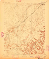
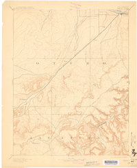
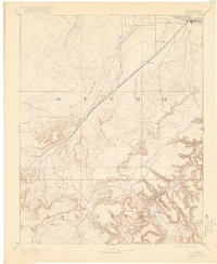
Editions of this 1894 Timpas Map
5 editions found

Other maps of this area

1891 · Catlin
USGS Topo · 1:125,000

1891 · Higbee
USGS Topo · 1:125,000

1891 · Las Animas
USGS Topo · 1:125,000

1891 · Timpas
USGS Topo · 1:125,000

1891 · Nepesta
USGS Topo · 1:125,000

1891 · Apishapa
USGS Topo · 1:125,000

1891 · Mesa De Maya
USGS Topo · 1:125,000

1892 · Elmoro
USGS Topo · 1:125,000

1892 · Mt Carrizo
USGS Topo · 1:125,000

1893 · Higbee
USGS Topo · 1:125,000