
1894 Map of Timpas
USGS Topo · Published 1894About this map
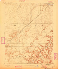
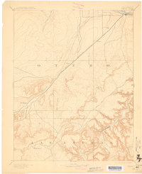
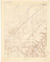
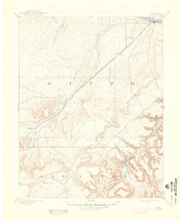
The Atchison Topeka and Santa Fe Railroad cuts a diagonal path through this 1880s landscape, tracing the vital transit corridor between La Junta and the high plains. This survey illustrates a pivotal era in Colorado's development, where the ancient Santa Fe Trail and the burgeoning iron rail shared the drainage of Timpas Creek. To the south, the terrain breaks into a complex system of deep incisions carved by the Purgatoire River, including Bent Canyon and Minnie Canyon. Sparse outposts like Benton, Iron Springs, and Taylor Ranch mark the early ranching and railroad infrastructure that defined these counties. The map provides a clear view of the contrast between the open valley of the Arkansas River and the broken, high-altitude terrain of the Black Hills.
Find a feature on this map
29 named features on this map. Tap any name to fly to it.
Don’t see what you’re looking for? This feature index may not catch every label — zoom into the map to look around manually.
Map Details
Editions of this 1894 Timpas Map
5 editions found
Other maps of this area

1891 · Catlin
USGS Topo · 1:125,000

1891 · Higbee
USGS Topo · 1:125,000

1891 · Las Animas
USGS Topo · 1:125,000

1891 · Timpas
USGS Topo · 1:125,000

1891 · Nepesta
USGS Topo · 1:125,000

1891 · Apishapa
USGS Topo · 1:125,000

1891 · Mesa De Maya
USGS Topo · 1:125,000

1892 · Elmoro
USGS Topo · 1:125,000

1892 · Mt Carrizo
USGS Topo · 1:125,000

1893 · Higbee
USGS Topo · 1:125,000