
2014 Map of Tin Creek
USGS Topo · Published 2014About this map
The South Fork Flathead River carves through the center of this terrain, joined by its tributary, the Spotted Bear River. This wilderness landscape is primarily defined by the Flathead National Forest, where high elevations like Beacon Mtn and Soldier Mtn overlook deep drainage basins. Human infrastructure is sparse, focused on the Spotted Bear USFS Airport and a small network of forest service roads including E Side Rd and W Side Rd. A notable crossing, the Billy R Garrett Memorial Bridge, spans the river near the confluence of several streams. Farther south, the terrain opens into Bruce Meadows near Bruce Ridge. This 2014 survey documents the vital administrative and transportation points used for forest management and back-country access, highlighting how the river system dictates movement through the high ridges of Horse Ridge and Stony Hill.
Find a feature on this map
42 named features on this map. Tap any name to fly to it.
Don’t see what you’re looking for? This feature index may not catch every label — zoom into the map to look around manually.
Map Details
Editions of this 2014 Tin Creek Map
This is the sole edition of this map. No revisions or reprints were ever made.
Other maps of this area
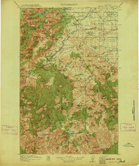
1913 · Marias Pass
USGS Topo · 1:125,000
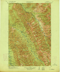
1914 · Nyack
USGS Topo · 1:125,000
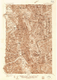
1936 · Silvertip
USGS Topo · 1:96,000
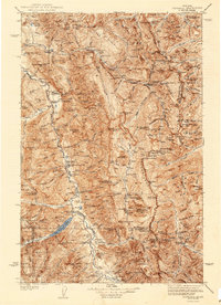
1942 · Silvertip
USGS Topo · 1:125,000

1955 · Choteau
USGS Topo · 1:250,000

1957 · Choteau
USGS Topo · 1:250,000
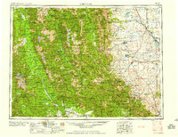
1958 · Choteau
USGS Topo · 1:250,000
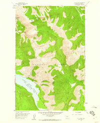
1958 · Circus Peak
USGS Topo · 1:24,000
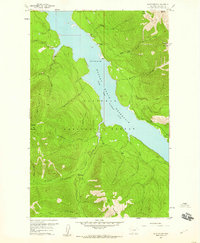
1958 · Quintonkon
USGS Topo · 1:24,000
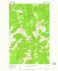
1958 · Horseshoe Peak
USGS Topo · 1:24,000