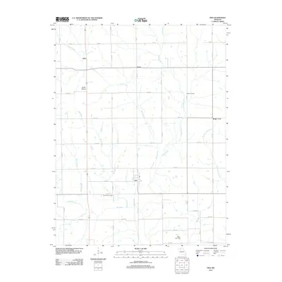
2012 Map of Tina
USGS Topo · Published 2012About this map
Tina and the surrounding Carroll County countryside are defined by a network of rural roads and meandering waterways in this 2012 survey. The settlement pattern is anchored by the community of Tina and the smaller locales of Asper and Grace, connected by a grid of county roads such as Co Rd-120 and WW Hwy. Notable landmarks include Stokes Mound, which rises above the surrounding plains, and Miller Lake Dam to the south.
Find a feature on this map
43 named features on this map. Tap any name to fly to it.
Don’t see what you’re looking for? This feature index may not catch every label — zoom into the map to look around manually.
Map Details
Editions of this 2012 Tina Map
This is the sole edition of this map. No revisions or reprints were ever made.
Other maps of this area

1889 · Lexington
USGS Topo · 1:125,000

1890 · Marshall
USGS Topo · 1:125,000

1892 · Marshall
USGS Topo · 1:125,000

1901 · Marshall
USGS Topo · 1:125,000

1924 · Dawn
USGS Topo · 1:62,500

1924 · Hale
USGS Topo · 1:62,500

1950 · Coloma
USGS Topo · 1:24,000

1950 · Hale
USGS Topo · 1:24,000

1951 · Hale
USGS Topo · 1:24,000

1951 · Bosworth
USGS Topo · 1:24,000