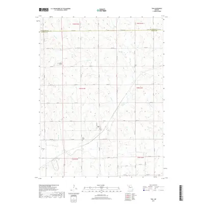
2017 Map of Tina
USGS Topo · Published 2017About this map
The town of Tina sits as the central hub of this agricultural landscape in northern Carroll County, where the grid of rural roads meets the winding paths of several local waterways. The topography is defined by the prominent Stokes Mound to the northwest and a network of drainages including Big Cr, Tater Hill Cr, and Bridge Cr. These creeks dictate the layout of the section lines and farmsteads, creating a distinct pattern of land use that has persisted for generations. Genealogists and local historians will find the locations of Rock Branch Cem and Macklin Cem valuable for tracing family roots in the area. The map illustrates the late-twentieth-century infrastructure of the region, featuring a comprehensive system of county roads and state highways like State Hwy U and State Hwy J that connect the small township to the surrounding Livingston County border.
Find a feature on this map
68 named features on this map. Tap any name to fly to it.
Don’t see what you’re looking for? This feature index may not catch every label — zoom into the map to look around manually.
Map Details
Editions of this 2017 Tina Map
This is the sole edition of this map. No revisions or reprints were ever made.
Other maps of this area
1889 · Lexington
USGS Topo · 1:125,000
1890 · Marshall
USGS Topo · 1:125,000
1892 · Marshall
USGS Topo · 1:125,000
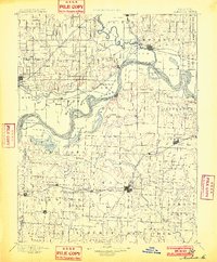
1901 · Marshall
USGS Topo · 1:125,000
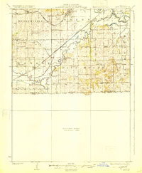
1924 · Dawn
USGS Topo · 1:62,500
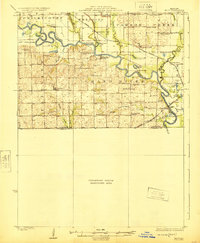
1924 · Hale
USGS Topo · 1:62,500
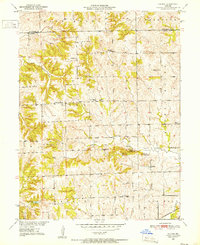
1950 · Coloma
USGS Topo · 1:24,000
1950 · Hale
USGS Topo · 1:24,000
1951 · Hale
USGS Topo · 1:24,000
1951 · Bosworth
USGS Topo · 1:24,000