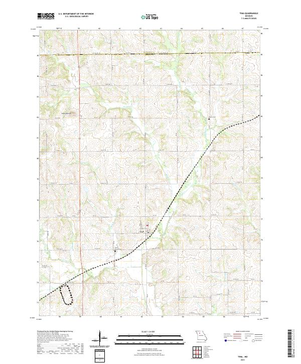
2021 Map of Tina
USGS Topo · Published 2021About this map
The village of Tina serves as the central hub of this agricultural landscape in Carroll County, where Miller St and Main St form the small grid of the town center. The surrounding terrain is defined by low-lying watercourses and modest elevations, most notably Stokes Mound and Tater Hill in the western reaches. The drainage pattern is dense, with Mound Cr, Big Cr, and Rock Br weaving through a patchwork of rural roads that follow the township and range survey lines.
Find a feature on this map
66 named features on this map. Tap any name to fly to it.
Don’t see what you’re looking for? This feature index may not catch every label — zoom into the map to look around manually.
Map Details
Editions of this 2021 Tina Map
This is the sole edition of this map. No revisions or reprints were ever made.
Other maps of this area

1889 · Lexington
USGS Topo · 1:125,000

1890 · Marshall
USGS Topo · 1:125,000

1892 · Marshall
USGS Topo · 1:125,000

1901 · Marshall
USGS Topo · 1:125,000

1924 · Dawn
USGS Topo · 1:62,500

1924 · Hale
USGS Topo · 1:62,500

1950 · Coloma
USGS Topo · 1:24,000

1950 · Hale
USGS Topo · 1:24,000

1951 · Hale
USGS Topo · 1:24,000

1951 · Bosworth
USGS Topo · 1:24,000