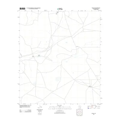
2012 Map of Tinaja
USGS Topo · Published 2012About this map
Antelope Springs and the drainage network of Colquitt Draw characterize this West Texas landscape in the high desert of Presidio County. The map focuses on the small settlement of Tinaja, situated where several ephemeral watercourses like Chambers Draw and Long Draw converge. These geographical features dictate the placement of ranch infrastructure and local thoroughfares, including Mitchell Rd and Nopal Rd, which follow the natural contours of the basin. The presence of the Alta Vista Ranch Airport in the southeastern quadrant underscores the importance of private aviation in navigating this expansive ranching territory. This survey provides a precise look at the rural isolation and hydrology of the region during the early 21st century, detailing how water and transportation intersect in an arid environment.
Find a feature on this map
8 named features on this map. Tap any name to fly to it.
Don’t see what you’re looking for? This feature index may not catch every label — zoom into the map to look around manually.
Map Details
Editions of this 2012 Tinaja Map
This is the sole edition of this map. No revisions or reprints were ever made.
Other maps of this area
1895 · Marfa
USGS Topo · 1:125,000
1895 · Alpine
USGS Topo · 1:125,000

1954 · Fort Stockton
USGS Topo · 1:250,000
1958 · Fort Stockton
USGS Topo · 1:250,000
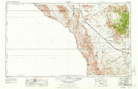
1959 · Marfa
USGS Topo · 1:250,000
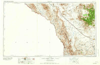
1965 · Marfa
USGS Topo · 1:250,000
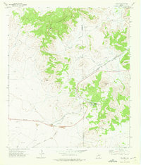
1972 · Paisano
USGS Topo · 1:24,000
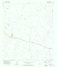
1972 · Nopal
USGS Topo · 1:24,000
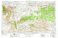
1973 · Fort Stockton
USGS Topo · 1:250,000
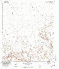
1983 · Cactus Flat
USGS Topo · 1:24,000