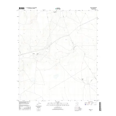
2016 Map of Tinaja
USGS Topo · Published 2016About this map
Tinaja and its surrounding drainage systems characterize this Presidio County landscape as documented by the U.S. Geological Survey in 2016. The terrain is defined by several prominent dry washes, including Colquitt Draw, Chambers Draw, and Long Draw, which carve through the high-desert topography. Transportation across this area relies on a network of ranch roads such as Nopal Rd and Barlite Rd, which serve the expansive private holdings typical of the Big Bend region. The Alta Vista Ranch Airport provides a key point of remote access in the southeastern portion of the quadrangle, while Antelope Springs offers a rare named water source. This survey illustrates the modern ranching infrastructure of West Texas, where vast distances are bridged by isolated airfields and essential watershed management features.
Find a feature on this map
11 named features on this map. Tap any name to fly to it.
Don’t see what you’re looking for? This feature index may not catch every label — zoom into the map to look around manually.
Map Details
Editions of this 2016 Tinaja Map
This is the sole edition of this map. No revisions or reprints were ever made.
Other maps of this area
1895 · Marfa
USGS Topo · 1:125,000
1895 · Alpine
USGS Topo · 1:125,000

1954 · Fort Stockton
USGS Topo · 1:250,000
1958 · Fort Stockton
USGS Topo · 1:250,000
1959 · Marfa
USGS Topo · 1:250,000
1965 · Marfa
USGS Topo · 1:250,000
1972 · Paisano
USGS Topo · 1:24,000
1972 · Nopal
USGS Topo · 1:24,000
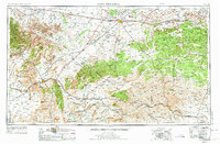
1973 · Fort Stockton
USGS Topo · 1:250,000
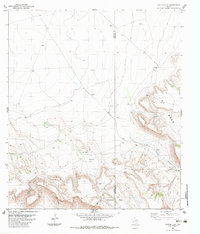
1983 · Cactus Flat
USGS Topo · 1:24,000