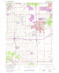
1963 Map of Tinley Park
USGS Topo · Published 1974About this map
Tinley Park and its surrounding communities are shown during a period of rapid suburban expansion, with purple photorevised overlays marking the growth of residential developments through the early 1970s. The substantial campus of the Tinley Park State Hospital dominates the central landscape, while older rural markers such as Hickory Cem and Lutheran Cem persist amidst the encroaching street grids. This survey documents the evolution of the Cook and Will County border region, where established towns like Orland Park and Frankfort began to merge with newer subdivisions like Westhaven and Arbury Hills.
Find a feature on this map
70 named features on this map. Tap any name to fly to it.
Don’t see what you’re looking for? This feature index may not catch every label — zoom into the map to look around manually.
Map Details
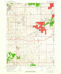
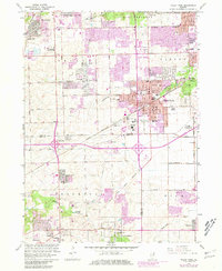
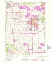
Editions of this 1963 Tinley Park Map
4 editions found
Other maps of this area

1890 · Des Plaines
USGS Topo · 1:62,500

1892 · Calumet
USGS Topo · 1:62,500

1893 · Calumet
USGS Topo · 1:62,500

1894 · Des Plaines
USGS Topo · 1:62,500

1900 · Des Plaines
USGS Topo · 1:62,500

1900 · Calumet
USGS Topo · 1:62,500

1901 · Calumet
USGS Topo · 1:62,500

1901 · Des Plaines
USGS Topo · 1:62,500

1928 · Palos Park
USGS Topo · 1:24,000

1928 · Sag Bridge
USGS Topo · 1:24,000