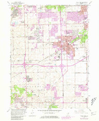
1963 Map of Tinley Park
USGS Topo · Published 1981About this map
The Indian Treaty Boundary cuts diagonally across this landscape, marking a historical division that still influences the grid of Cook and Will counties. While Tinley Park and Orland Park show significant postwar suburban expansion—highlighted by revisions for Fernway Park and Westhaven—the southern reaches toward Frankfort retain a more open character. Notable institutional landmarks include the extensive grounds of the Tinley Park State Hospital and the WLS-WENR Radio Tower. The transportation network is defined by the Chicago and Rock Island and Norfolk and Western railroads, which facilitated the growth of these communities. Local history is preserved in sites like Hickory Cemetery and St. Boniface Church, while educational hubs such as Kirby-McIntosh School and Anna Rutledge School serve the developing neighborhoods.
Find a feature on this map
63 named features on this map. Tap any name to fly to it.
Don’t see what you’re looking for? This feature index may not catch every label — zoom into the map to look around manually.
Map Details
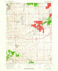
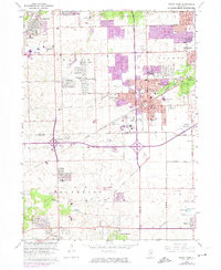
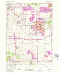
Editions of this 1963 Tinley Park Map
4 editions found
Other maps of this area

1890 · Des Plaines
USGS Topo · 1:62,500

1892 · Calumet
USGS Topo · 1:62,500

1893 · Calumet
USGS Topo · 1:62,500

1894 · Des Plaines
USGS Topo · 1:62,500

1900 · Des Plaines
USGS Topo · 1:62,500

1900 · Calumet
USGS Topo · 1:62,500

1901 · Calumet
USGS Topo · 1:62,500

1901 · Des Plaines
USGS Topo · 1:62,500

1928 · Palos Park
USGS Topo · 1:24,000

1928 · Sag Bridge
USGS Topo · 1:24,000