
1902 Map of Tioga
USGS Topo · Published 1902About this map
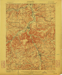
Tioga River and Cowanesque River valleys define this northern Pennsylvania landscape, serving as the primary corridors for a dense late-Victorian rail network. The map reveals the critical junction point at Tioga Junction, where the Erie R R (Tioga Div) and the Pennsylvania R R (Tioga Div) converged to serve the region's river-bottom settlements. From the northern border at Lawrenceville down to Mansfield, the terrain is marked by numerous family-named landmarks and small rail stops like Lathrop and Rising. The concentration of infrastructure along the water's edge, including the New York Central and Hudson River R R, illustrates how the topography forced industrial and transit development into narrow, fertile gaps between high points like Bald Hill and Pickle Hill. Away from the tracks, scattered hilltop communities such as Farmington Hill and Jackson Summit represent the era's upland agricultural life.
Find a feature on this map
67 named features on this map. Tap any name to fly to it.
Don’t see what you’re looking for? This feature index may not catch every label — zoom into the map to look around manually.
Map Details
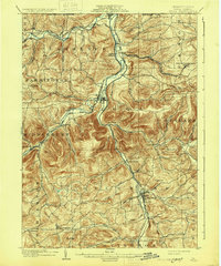
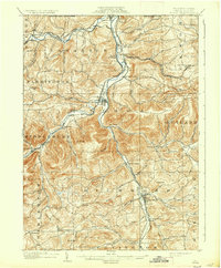
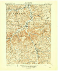
Editions of this 1902 Tioga Map
5 editions found
Other maps of this area

1895 · Elmira
USGS Topo · 1:62,500

1900 · Tioga
USGS Topo · 1:62,500

1900 · Elkland
USGS Topo · 1:62,500

1905 · Watkins Glen
USGS Topo · 1:125,000

1914 · Corning
USGS Topo · 1:62,500

1924 · Woodhull
USGS Topo · 1:48,000

1925 · Blossburg
USGS Topo · 1:62,500

1926 · Woodhull
USGS Topo · 1:62,500

1927 · Blossburg
USGS Topo · 1:62,500

1931 · Troy
USGS Topo · 1:48,000