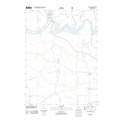
2011 Map of Tionesta
USGS Topo · Published 2011About this map
Tionesta serves as the focal point of this Forest County landscape, situated at the confluence of the Allegheny River and Tionesta Creek. The town's historical geography is anchored by the Mount Collins Cemetery and the Forest County War Memorial, while the Tionesta Dam to the east has fundamentally altered the natural drainage of the creek, creating the expansive Tionesta Lake. This water management system defines much of the northern topography, contrasted by the winding rural roads that connect smaller outlying settlements.
Find a feature on this map
65 named features on this map. Tap any name to fly to it.
Don’t see what you’re looking for? This feature index may not catch every label — zoom into the map to look around manually.
Map Details
Editions of this 2011 Tionesta Map
This is the sole edition of this map. No revisions or reprints were ever made.
Other maps of this area

1922 · Oil City
USGS Topo · 1:48,000

1922 · Tionesta
USGS Topo · 1:62,500

1924 · Oil City
USGS Topo · 1:62,500

1924 · Tionesta
USGS Topo · 1:62,500

1927 · Tidioute
USGS Topo · 1:48,000

1927 · Titusville
USGS Topo · 1:62,500

1930 · Tidioute
USGS Topo · 1:62,500

1933 · Titusville
USGS Topo · 1:62,500

1943 · Oil City
USGS Topo · 1:62,500

1946 · Tionesta
USGS Topo · 1:62,500