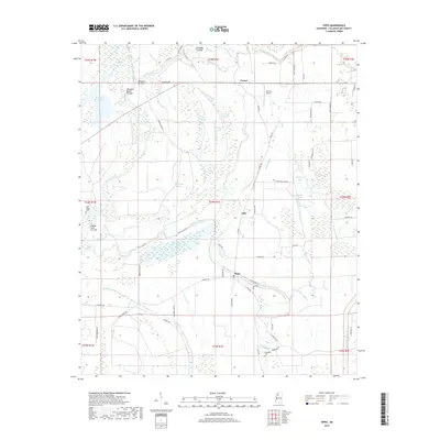
2018 Map of Tippo
USGS Topo · Published 2018About this map
Tippo and its surrounding wetlands define this portion of the Mississippi Delta, where the Tallahatchie River and an intricate network of bayous shape the rural landscape. This modern survey illustrates the complex drainage patterns of the region, featuring several oxbow-style lakes and cut-offs such as Alligator Lake, Walnut Lake, and the Locopolis Cut-Off. These water bodies are remnants of the river's shifting path, now serving as key landmarks alongside the small settlements of Effie and Cowart.
Find a feature on this map
73 named features on this map. Tap any name to fly to it.
Don’t see what you’re looking for? This feature index may not catch every label — zoom into the map to look around manually.
Map Details
Editions of this 2018 Tippo Map
This is the sole edition of this map. No revisions or reprints were ever made.
Other maps of this area
1931 · Sumner
USGS Topo · 1:48,000
1932 · Philipp
USGS Topo · 1:48,000
1932 · Tutwiler
USGS Topo · 1:48,000
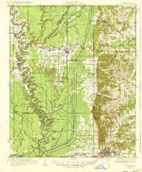
1935 · Crowder
USGS Topo · 1:62,500
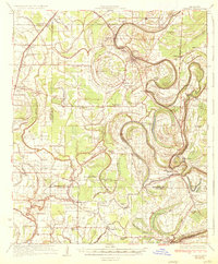
1935 · Sumner
USGS Topo · 1:62,500
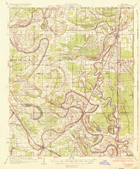
1935 · Tutwiler
USGS Topo · 1:62,500
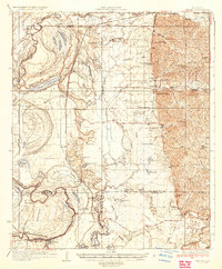
1935 · Philipp
USGS Topo · 1:62,500
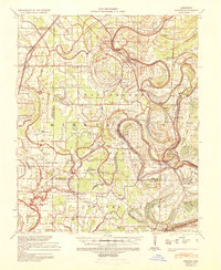
1939 · Sumner
USGS Topo · 1:62,500
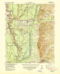
1939 · Crowder
USGS Topo · 1:62,500
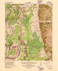
1939 · Philipp
USGS Topo · 1:62,500