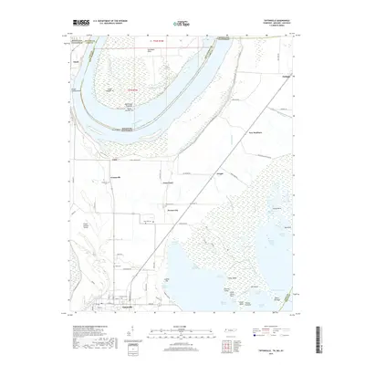
2019 Map of Tiptonville
USGS Topo · Published 2019About this map
Tiptonville anchors this survey of the Mississippi River's bend at the borders of Tennessee, Missouri, and Kentucky. The river’s complex hydrologic history is visible in the network of chutes, towheads, and sloughs, including the famous Island Number 10 and Island Number Ten. This area is characterized by low-lying bottomlands and significant wetlands such as Swan Basin and the Needle Eye Basin.
Find a feature on this map
89 named features on this map. Tap any name to fly to it.
Don’t see what you’re looking for? This feature index may not catch every label — zoom into the map to look around manually.
Map Details
Editions of this 2019 Tiptonville Map
This is the sole edition of this map. No revisions or reprints were ever made.
Other maps of this area

1925 · Reelfoot Lake
USGS Topo · 1:62,500

1939 · Reelfoot Lake
USGS Topo · 1:62,500

1939 · Portageville
USGS Topo · 1:62,500

1939 · New Madrid
USGS Topo · 1:62,500

1939 · Bayouville
USGS Topo · 1:62,500

1951 · Bondurant
USGS Topo · 1:24,000

1951 · New Madrid SE
USGS Topo · 1:24,000

1951 · Hubbard Lake
USGS Topo · 1:24,000

1954 · New Madrid
USGS Topo · 1:62,500

1955 · Portageville
USGS Topo · 1:62,500