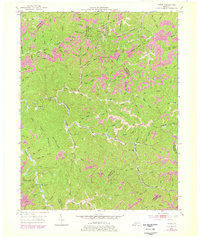
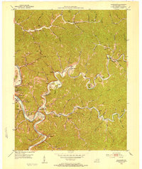
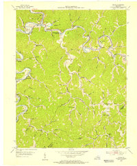
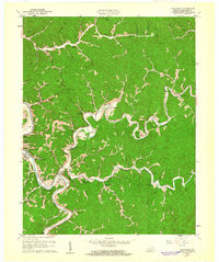
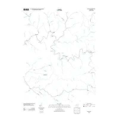
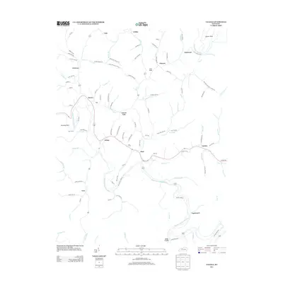
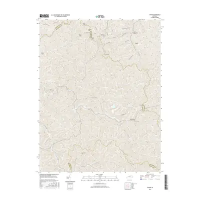
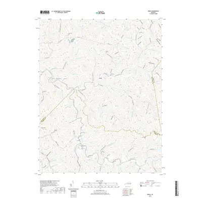
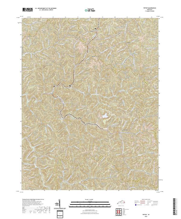
1951 Map of Tiptop
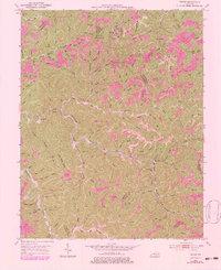
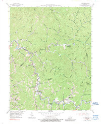
USGS Topo · Published 1978About this map
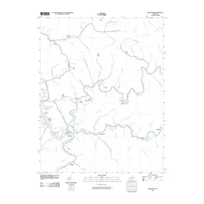
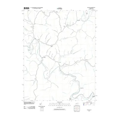
Tiptop and the surrounding coal country of Breathitt, Magoffin, and Knott Counties are defined here by a dense network of hollows and ridges during the mid-20th century. The landscape is heavily marked by the region's primary industries, with numerous Strip Mines and scattered Oil Wells following the terrain's contours. The Chesapeake and Ohio railway threads through the valleys, providing the essential connection for small mining settlements like Evanston and Duco.
Find a feature on this map
119 named features on this map. Tap any name to fly to it.
Don’t see what you’re looking for? This feature index may not catch every label — zoom into the map to look around manually.
Map Details
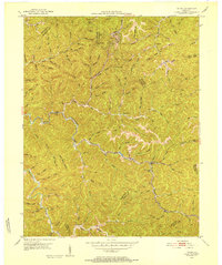
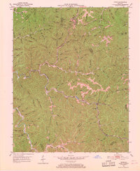
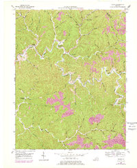
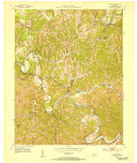
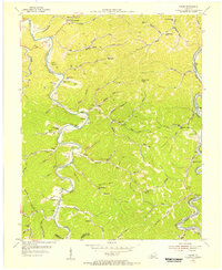
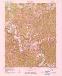
Editions of this 1951 Tiptop Map
4 editions found
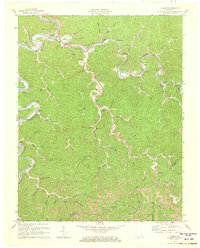
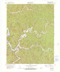
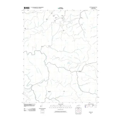
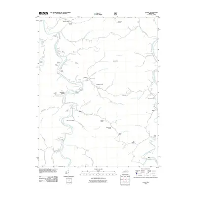
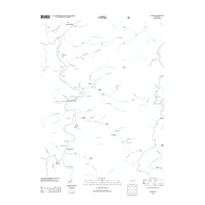
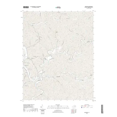
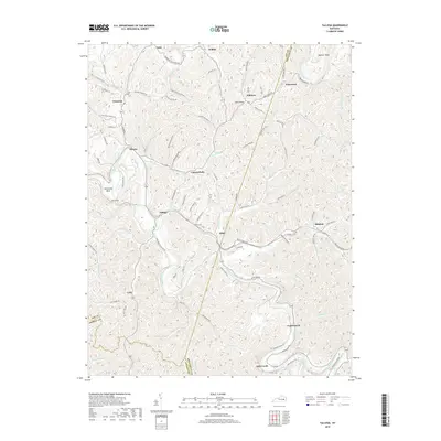
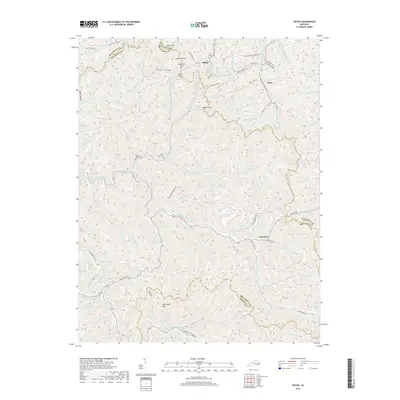
Historical Maps of Tiptop Through Time
48 maps found
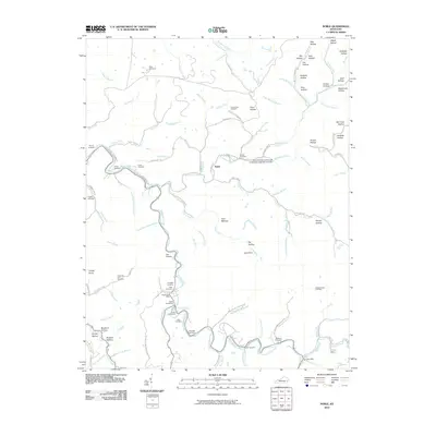
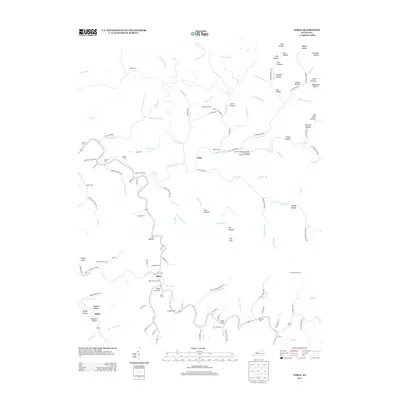
1951 Guage
Breathitt County, KY
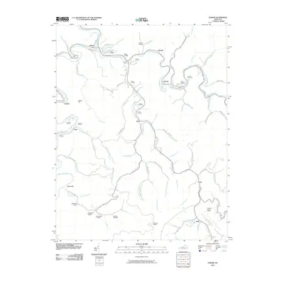
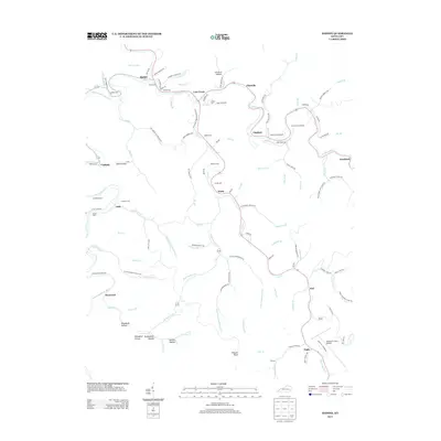
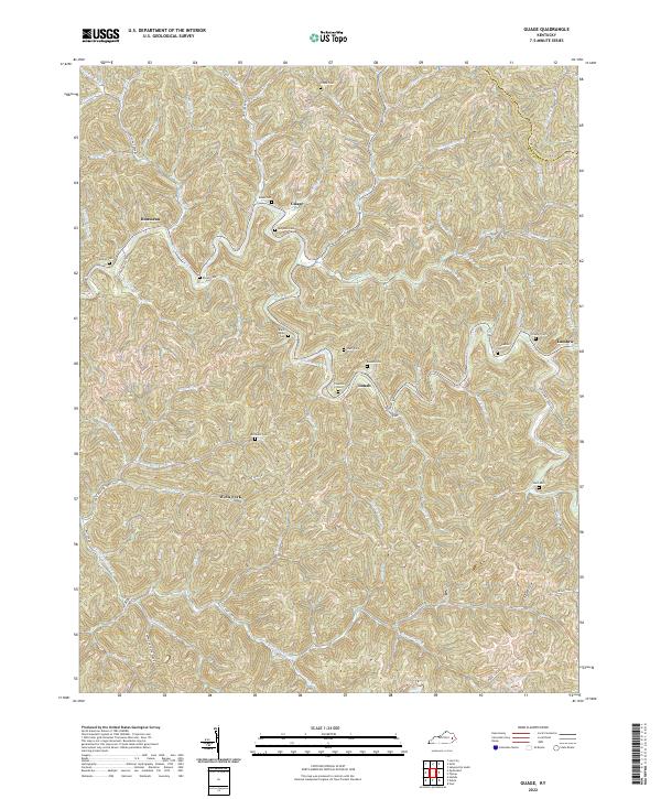
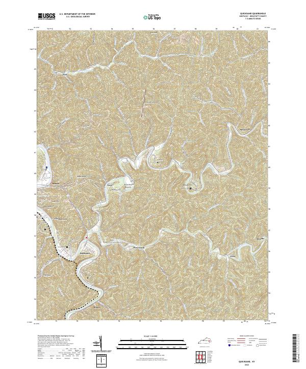
1951 Quicksand
Breathitt County, KY
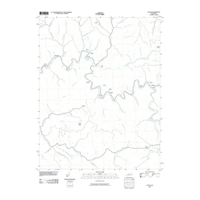
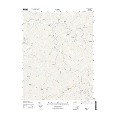
1951 Tiptop
Breathitt County, KY
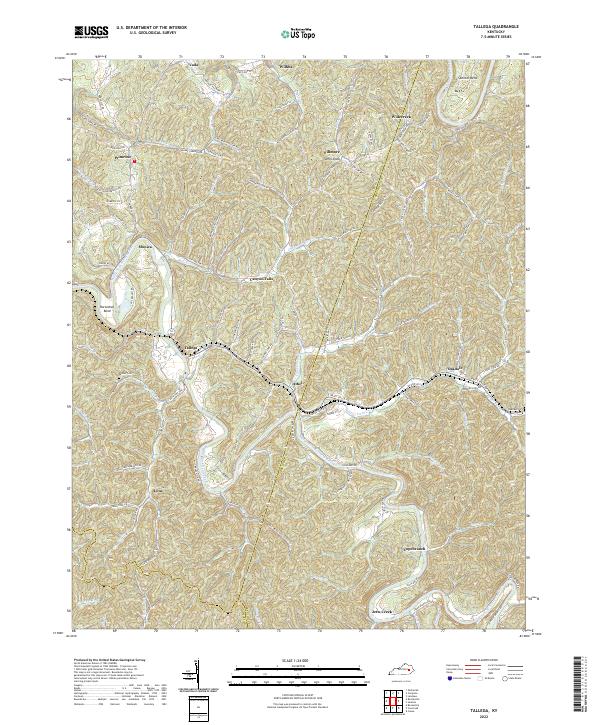
1952 Tallega
Breathitt County, KY
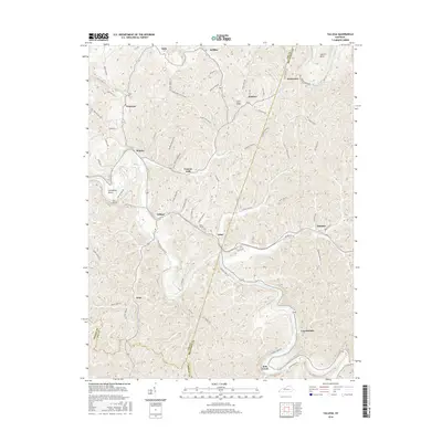
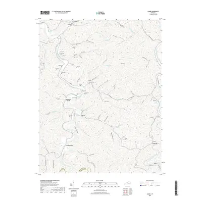
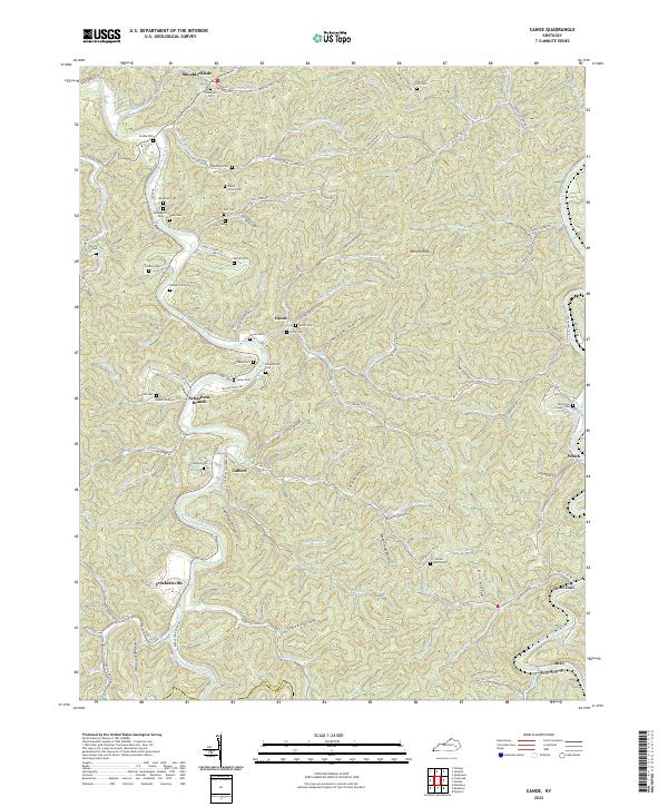
1954 Canoe
Breathitt County, KY
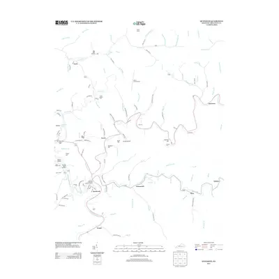
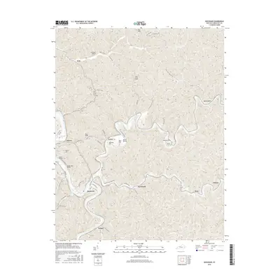
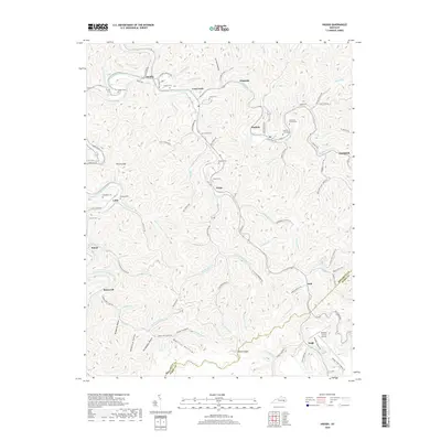
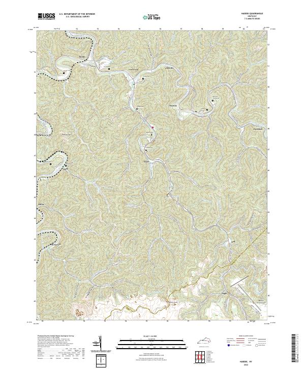
1954 Haddix
Breathitt County, KY
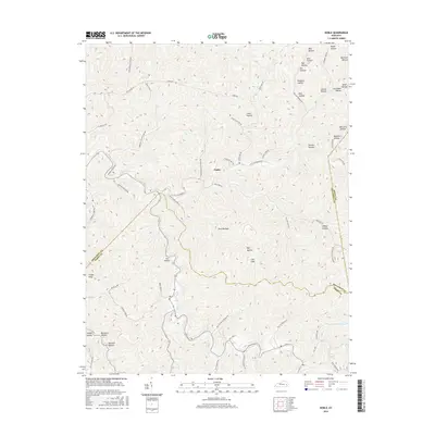
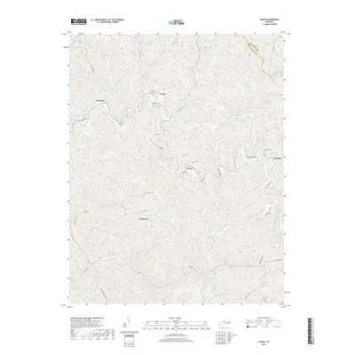
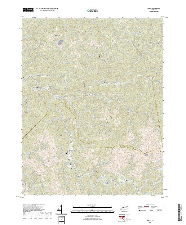
1954 Noble
Breathitt County, KY
1961 Canoe
Breathitt County, KY
1961 Haddix
Breathitt County, KY
1961 Quicksand
Breathitt County, KY
1961 Tallega
Breathitt County, KY
1972 Haddix
Breathitt County, KY
1972 Quicksand
Breathitt County, KY
2010 Guage
Breathitt County, KY
2010 Haddix
Breathitt County, KY
2010 Noble
Breathitt County, KY
2010 Quicksand
Breathitt County, KY
2010 Tallega
Breathitt County, KY
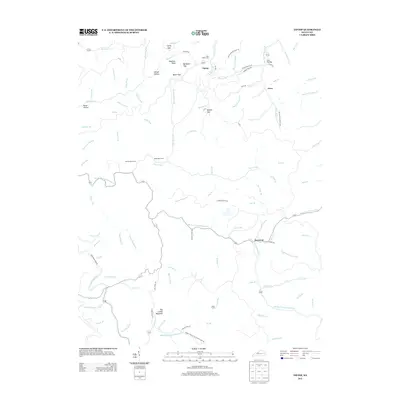
2010 Tiptop
Breathitt County, KY
2011 Canoe
Breathitt County, KY
2013 Canoe
Breathitt County, KY
2013 Guage
Breathitt County, KY
2013 Haddix
Breathitt County, KY
2013 Noble
Breathitt County, KY
2013 Quicksand
Breathitt County, KY
2013 Tallega
Breathitt County, KY
2013 Tiptop
Breathitt County, KY
2016 Canoe
Breathitt County, KY
2016 Guage
Breathitt County, KY
2016 Haddix
Breathitt County, KY
2016 Noble
Breathitt County, KY
2016 Quicksand
Breathitt County, KY
2016 Tallega
Breathitt County, KY
2016 Tiptop
Breathitt County, KY
2019 Canoe
Breathitt County, KY
2019 Guage
Breathitt County, KY
2019 Haddix
Breathitt County, KY
2019 Noble
Breathitt County, KY
2019 Quicksand
Breathitt County, KY
2019 Tallega
Breathitt County, KY
2019 Tiptop
Breathitt County, KY
2022 Canoe
Breathitt County, KY
2022 Guage
Breathitt County, KY
2022 Haddix
Breathitt County, KY
2022 Noble
Breathitt County, KY
2022 Quicksand
Breathitt County, KY
2022 Tallega
Breathitt County, KY
2022 Tiptop
Breathitt County, KY