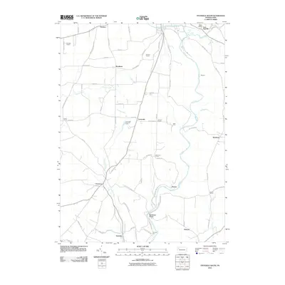
2010 Map of Titusville South
USGS Topo · Published 2010About this map
Oil Creek and its many tributaries, including Cherrytree Run and Pine Creek, carve through this section of the Pennsylvania Oil Region. The landscape is defined by its industrial heritage, anchored by Petroleum Center and Columbia Farm at the southern end of Oil Creek State Park. Small rural communities such as Breedtown, Shamburg, and Gresham are connected by a network of local routes like Old Petroleum Center Rd and Drake Well Rd. The presence of Shriver Airport and Titusville Airport indicates the modern evolution of this territory. This area remains a focal point for those interested in the early American oil industry, where the geography of steep valleys and winding runs dictated the placement of historic drilling sites and early settlements.
Find a feature on this map
72 named features on this map. Tap any name to fly to it.
Don’t see what you’re looking for? This feature index may not catch every label — zoom into the map to look around manually.
Map Details
Editions of this 2010 Titusville South Map
This is the sole edition of this map. No revisions or reprints were ever made.
Other maps of this area

1909 · Franklin
USGS Topo · 1:62,500

1911 · Franklin
USGS Topo · 1:62,500

1922 · Oil City
USGS Topo · 1:48,000

1924 · Oil City
USGS Topo · 1:62,500

1927 · Townville
USGS Topo · 1:48,000

1927 · Titusville
USGS Topo · 1:62,500

1932 · Townville
USGS Topo · 1:62,500

1933 · Titusville
USGS Topo · 1:62,500

1943 · Oil City
USGS Topo · 1:62,500

1945 · Townville
USGS Topo · 1:62,500
Featured Places
- Titusville, PA
- Cherrytree Township, PA
- Troy Township, PA
- Shamburg, Oil Creek Township
- Kaneville, Cornplanter Township