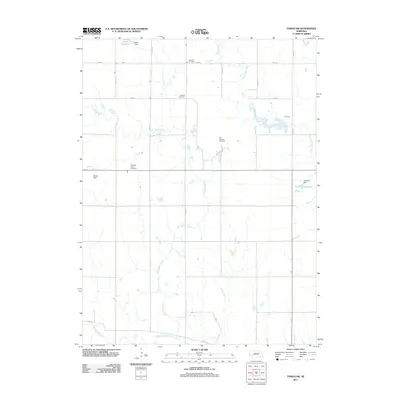
2011 Map of Tobias SW
USGS Topo · Published 2011About this map
Dry Sandy Creek and its tributaries carve a distinct path through this agricultural landscape in Thayer County, Nebraska. The map reveals a rural community defined by a systematic grid of section roads like Road X and Tower Rd, punctuated by markers of local heritage and infrastructure. Small-scale water management is evident in the presence of Sieber Reservoir and Kerwood Reservoir, both maintained by their respective dams. For those researching local lineages, three distinct burial grounds—Antioch Cemetery, Franklin Cemetery, and Pleasant Plain Cemetery—serve as anchors for the area's history. The landscape also supports agricultural operations, notably the Mid - America Feed Yard, illustrating the modern economic character of this prairie region.
Find a feature on this map
21 named features on this map. Tap any name to fly to it.
Don’t see what you’re looking for? This feature index may not catch every label — zoom into the map to look around manually.
Map Details
Editions of this 2011 Tobias SW Map
This is the sole edition of this map. No revisions or reprints were ever made.
Other maps of this area

1898 · Hebron
USGS Topo · 1:125,000

1955 · Lincoln
USGS Topo · 1:250,000

1957 · Lincoln
USGS Topo · 1:250,000

1958 · Lincoln
USGS Topo · 1:250,000

1960 · Bruning
USGS Topo · 1:24,000

1960 · Tobias SW
USGS Topo · 1:24,000

1960 · Alexandria
USGS Topo · 1:24,000
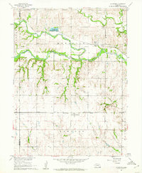
1960 · Gladstone
USGS Topo · 1:24,000

1960 · Daykin
USGS Topo · 1:24,000
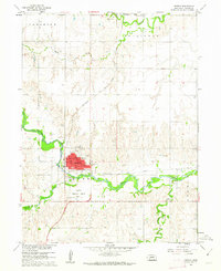
1960 · Hebron
USGS Topo · 1:24,000