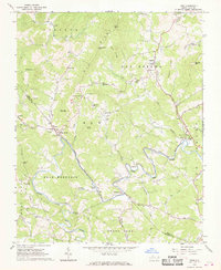
1966 Map of Todd
USGS Topo · Published 1968About this map
The South Fork New River winds through this section of the Blue Ridge, carving a path between Creston Ridge and Old Fields. In the mid-1960s, rural life here centered on the river valleys and the small settlements of Todd, Fleetwood, and Brownwood. The map captures a high density of community landmarks, including numerous country churches like Blackburn Chapel, Bethany Ch, and Mission Home Ch, many with adjacent cemeteries. The local education system is represented by Elkland Sch near the riverbanks.
Find a feature on this map
59 named features on this map. Tap any name to fly to it.
Don’t see what you’re looking for? This feature index may not catch every label — zoom into the map to look around manually.
Map Details
Editions of this 1966 Todd Map
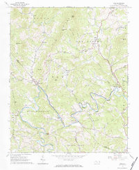
2 editions found
Other maps of this area

1889 · Wilkesboro
USGS Topo · 1:125,000

1891 · Wilkesboro
USGS Topo · 1:125,000

1893 · Cranberry
USGS Topo · 1:125,000

1895 · Cranberry
USGS Topo · 1:125,000

1899 · Cranberry
USGS Topo · 1:125,000

1902 · Cranberry
USGS Topo · 1:125,000

1934 · Boone
USGS Topo · 1:24,000

1935 · Baldwin Gap
USGS Topo · 1:24,000

1935 · Zionville
USGS Topo · 1:24,000

1936 · Blowing Rock
USGS Topo · 1:48,000