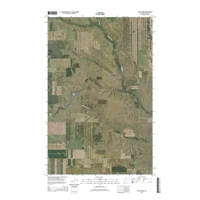
2014 Map of Todd Lakes
USGS Topo · Published 2014About this map
Todd Lakes sits at the heart of this Valley County landscape, surrounded by a complex system of drainage and terrain. The map details a transition from the elevated plains of the Grand Prairie Rd area down into deeply incised features like Thiessen Coulee and Tree Coulee. This high-plains geography is defined by its seasonal watercourses, with the W Fork Wolf Cr and Dry Fork Wolf Cr carving distinct paths through the township boundaries of T30N and T29N.
Find a feature on this map
19 named features on this map. Tap any name to fly to it.
Don’t see what you’re looking for? This feature index may not catch every label — zoom into the map to look around manually.
Map Details
Editions of this 2014 Todd Lakes Map
This is the sole edition of this map. No revisions or reprints were ever made.
Other maps of this area
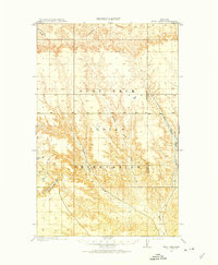
1910 · Todd Lakes
USGS Topo · 1:62,500
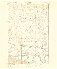
1915 · Frazer
USGS Topo · 1:62,500
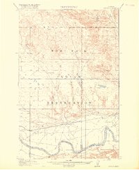
1915 · Oswego
USGS Topo · 1:62,500
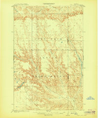
1915 · Todd Lakes
USGS Topo · 1:62,500
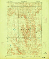
1915 · Spring Creek
USGS Topo · 1:62,500

1954 · Wolf Point
USGS Topo · 1:250,000

1954 · Glasgow
USGS Topo · 1:250,000

1957 · Glasgow
USGS Topo · 1:250,000

1958 · Wolf Point
USGS Topo · 1:250,000

1958 · Glasgow
USGS Topo · 1:250,000