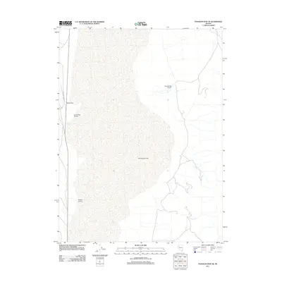
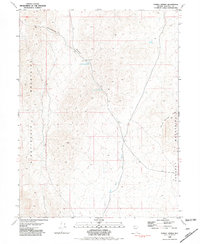
2011 Map of Tohakum Peak NE
USGS Topo · Published 2011About this map
Winnemucca Lake dominates this high-desert basin in Washoe County, appearing here in its modern state as a dry or ephemeral lakebed. The map documents a stark landscape of terminal basins and high-desert terrain, where drainage from the surrounding mountains carves deep features like Stonehouse Canyon and Nugent Canyon. These alluvial landforms demonstrate the erosional forces acting on the Nevada interior. Human presence is sparse, limited primarily to the western edge of the basin where the Schell Creek Ranch Rd runs along the mountain front. This corridor provides access to landmarks such as Needle Rock and the drainage of Groundhog Canyon. Water sources remain critical and rare in this arid environment, marked here by the solitary Goose Spring near the lake margin.
Find a feature on this map
7 named features on this map. Tap any name to fly to it.
Don’t see what you’re looking for? This feature index may not catch every label — zoom into the map to look around manually.
Map Details
Editions of this 2011 Tohakum Peak NE Map
This is the sole edition of this map. No revisions or reprints were ever made.
Other maps of this area

1886 · Granite Range
USGS Topo · 1:250,000

1894 · Granite Range
USGS Topo · 1:250,000

1955 · Lovelock
USGS Topo · 1:250,000

1959 · Lovelock
USGS Topo · 1:250,000
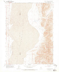
1964 · Tohakum Peak NE
USGS Topo · 1:24,000
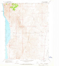
1964 · Dove Creek
USGS Topo · 1:24,000
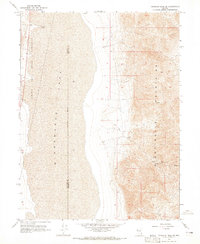
1964 · Tohakum Peak SE
USGS Topo · 1:24,000

1964 · Tohakum Peak NW
USGS Topo · 1:24,000

1964 · Kumiva Peak
USGS Topo · 1:62,500
1981 · Tunnel Spring
USGS Topo · 1:24,000