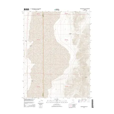
2014 Map of Tohakum Peak NE
USGS Topo · Published 2014About this map
The Nightingale Mountains dominate the southeastern corner of this map, transitioning into an expansive alkali flat that defines the central terrain. This high-desert landscape in northwestern Nevada is marked by several distinct geological features, including the prominent Needle Rock near the western boundary. The drainage patterns of the region are clearly delineated through a series of significant seasonal watercourses, notably Stonehouse Canyon, Groundhog Canyon, and Nugent Canyon, which carve through the foothills of the high desert. The map also records the jurisdictional line where Washoe Co and Pershing Co meet, providing a clear reference for the legal and administrative divisions of this remote territory. Only a single named route, the curiously titled Wild Ass Rd, appears in the northeast, highlighting the sparse infrastructure of the area at this time.
Find a feature on this map
13 named features on this map. Tap any name to fly to it.
Don’t see what you’re looking for? This feature index may not catch every label — zoom into the map to look around manually.
Map Details
Editions of this 2014 Tohakum Peak NE Map
This is the sole edition of this map. No revisions or reprints were ever made.
Other maps of this area

1886 · Granite Range
USGS Topo · 1:250,000

1894 · Granite Range
USGS Topo · 1:250,000

1955 · Lovelock
USGS Topo · 1:250,000

1959 · Lovelock
USGS Topo · 1:250,000
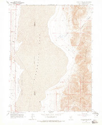
1964 · Tohakum Peak NE
USGS Topo · 1:24,000
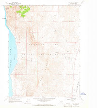
1964 · Dove Creek
USGS Topo · 1:24,000
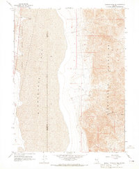
1964 · Tohakum Peak SE
USGS Topo · 1:24,000
1964 · Tohakum Peak NW
USGS Topo · 1:24,000
1964 · Kumiva Peak
USGS Topo · 1:62,500
1981 · Tunnel Spring
USGS Topo · 1:24,000