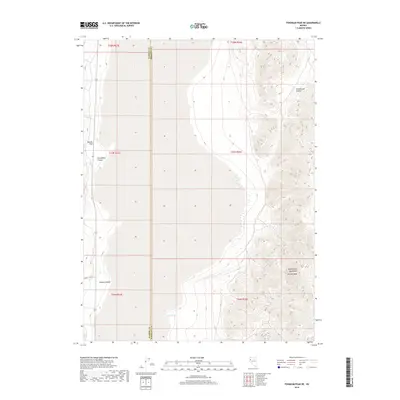
2018 Map of Tohakum Peak NE
USGS Topo · Published 2018About this map
The Nightingale Mountains dominate the eastern landscape of this high desert terrain, culminating at the prominent McLane Peak. This 2018 survey reveals a topography defined by steep relief and secluded water sources, essential for life in the Great Basin. To the west, the basin floor is marked by striking geological formations such as Needle Rock, while the northern reaches include the steep drainages of Stonehouse Canyon. The boundary between Washoe Co and Pershing Co bisects the map, illustrating how political lines were drawn across this arid environment. Key water points like Goose Spring and sheltered areas such as Groundhog Canyon and Nugent Canyon represent the few reliable landmarks for travelers and surveyors navigating this remote corner of Nevada.
Find a feature on this map
8 named features on this map. Tap any name to fly to it.
Don’t see what you’re looking for? This feature index may not catch every label — zoom into the map to look around manually.
Map Details
Editions of this 2018 Tohakum Peak NE Map
This is the sole edition of this map. No revisions or reprints were ever made.
Other maps of this area

1886 · Granite Range
USGS Topo · 1:250,000

1894 · Granite Range
USGS Topo · 1:250,000

1955 · Lovelock
USGS Topo · 1:250,000

1959 · Lovelock
USGS Topo · 1:250,000
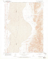
1964 · Tohakum Peak NE
USGS Topo · 1:24,000
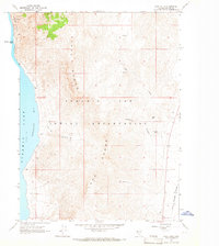
1964 · Dove Creek
USGS Topo · 1:24,000
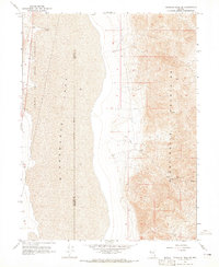
1964 · Tohakum Peak SE
USGS Topo · 1:24,000
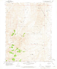
1964 · Tohakum Peak NW
USGS Topo · 1:24,000
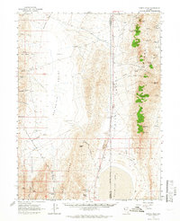
1964 · Kumiva Peak
USGS Topo · 1:62,500
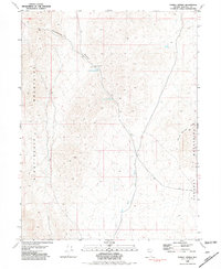
1981 · Tunnel Spring
USGS Topo · 1:24,000