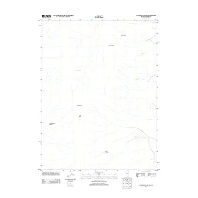
2011 Map of Tohakum Peak NW
USGS Topo · Published 2011About this map
Tohakum Peak and the surrounding ridgelines of the Lake Range define this high-elevation corner of Washoe County. This 2011 survey illustrates a landscape where survival and navigation once depended entirely on widely dispersed water sources. A network of springs, including the descriptively named Moses Rock Spring, Jackass Spring, and Potato Patch Spring, are scattered across the terrain. Movement through the peaks is channeled through Fremont Pass, while the drainage system is marked by geographic landmarks like Hells Kitchen Canyon and Manure Canyon. In the southern portion of the sheet, Nugent Cyn serves as a primary corridor, leading toward Nugent Springs and the isolated Nugent Hole, providing essential reference points for researchers interested in the historical geography of Nevada's Great Basin territory.
Find a feature on this map
13 named features on this map. Tap any name to fly to it.
Don’t see what you’re looking for? This feature index may not catch every label — zoom into the map to look around manually.
Map Details
Editions of this 2011 Tohakum Peak NW Map
This is the sole edition of this map. No revisions or reprints were ever made.
Other maps of this area

1886 · Granite Range
USGS Topo · 1:250,000

1894 · Granite Range
USGS Topo · 1:250,000

1955 · Lovelock
USGS Topo · 1:250,000

1959 · Lovelock
USGS Topo · 1:250,000
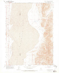
1964 · Tohakum Peak NE
USGS Topo · 1:24,000
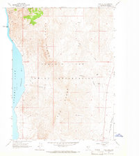
1964 · Dove Creek
USGS Topo · 1:24,000
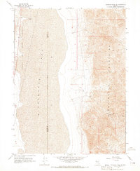
1964 · Tohakum Peak SE
USGS Topo · 1:24,000

1964 · Tohakum Peak NW
USGS Topo · 1:24,000

1964 · Kumiva Peak
USGS Topo · 1:62,500

1964 · Pyramid NE
USGS Topo · 1:24,000