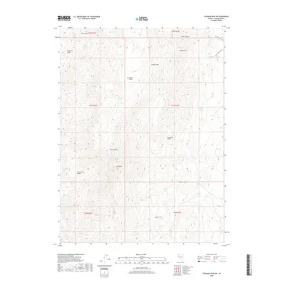
2018 Map of Tohakum Peak NW
USGS Topo · Published 2018About this map
Tohakum Peak and the high ridges of the Lake Range dominate this Nevada landscape, where water sources dictated the movement of early ranchers and travelers. The map reveals a network of vital water points, including Nugent Springs, Moses Rock Spring, and Jackass Spring, which likely served as anchors for regional livestock operations. Primitive transit corridors like Five Springs Ranch Rd and Schell Creek Ranch Rd follow the natural contours of the basin-and-range topography, connecting remote canyons such as Stag Canyon and San Emidio Canyon.
Find a feature on this map
25 named features on this map. Tap any name to fly to it.
Don’t see what you’re looking for? This feature index may not catch every label — zoom into the map to look around manually.
Map Details
Editions of this 2018 Tohakum Peak NW Map
This is the sole edition of this map. No revisions or reprints were ever made.
Other maps of this area

1886 · Granite Range
USGS Topo · 1:250,000

1894 · Granite Range
USGS Topo · 1:250,000

1955 · Lovelock
USGS Topo · 1:250,000

1959 · Lovelock
USGS Topo · 1:250,000
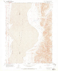
1964 · Tohakum Peak NE
USGS Topo · 1:24,000
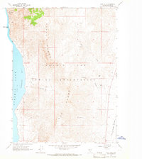
1964 · Dove Creek
USGS Topo · 1:24,000
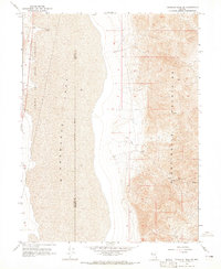
1964 · Tohakum Peak SE
USGS Topo · 1:24,000
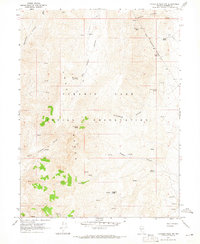
1964 · Tohakum Peak NW
USGS Topo · 1:24,000
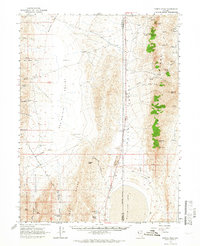
1964 · Kumiva Peak
USGS Topo · 1:62,500
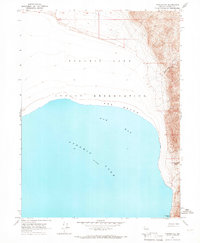
1964 · Pyramid NE
USGS Topo · 1:24,000