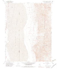
1964 Map of Tohakum Peak SE
USGS Topo · Published 1983About this map
Winnemucca Lake dominates the western half of this Nevada landscape, its expansive bed defined by an Indefinite Boundary that separates Washoe and Pershing Counties. The eastern terrain rises sharply into the Nightingale Mountains, where high-altitude mining activity is centered at the MGL Mines. This 1960s survey records a sparse desert environment where survival depends on reliable water sources like the Alkaline Spring, several isolated Wells, and a Water Tank positioned near the rugged mountain slopes. The western shore falls within the Pyramid Lake Indian Reservation, reflecting the historical land divisions of the Great Basin. Access across the arid flats and steep ridges is limited to a primitive network of a Jeep Trail and a Pack Trail, illustrating the remote nature of this mineral-rich region.
Find a feature on this map
12 named features on this map. Tap any name to fly to it.
Don’t see what you’re looking for? This feature index may not catch every label — zoom into the map to look around manually.
Map Details
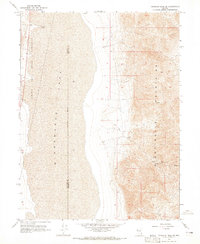
Editions of this 1964 Tohakum Peak SE Map
2 editions found
Other maps of this area

1886 · Granite Range
USGS Topo · 1:250,000

1890 · Wadsworth
USGS Topo · 1:125,000

1892 · Wadsworth
USGS Topo · 1:125,000

1894 · Granite Range
USGS Topo · 1:250,000

1894 · Wadsworth
USGS Topo · 1:125,000

1955 · Lovelock
USGS Topo · 1:250,000

1957 · Fireball Ridge
USGS Topo · 1:62,500

1957 · Nixon
USGS Topo · 1:62,500

1957 · Reno
USGS Topo · 1:250,000

1959 · Lovelock
USGS Topo · 1:250,000