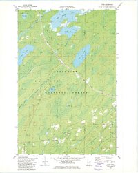
1981 Map of Toimi
USGS Topo · Published 1982About this map
Seven Beaver Lake and the winding St Louis River dominate the northern wetlands of this landscape, marking a remote interior of the Superior National Forest. Industrial history is etched into the terrain by the Seven Beaver Mining Railroad, which cuts a diagonal path southeast toward the settlement at Toimi. In the southern portion of the quadrangle, the community center is defined by the Townhall, Bassett Ch, and the nearby Bassett Cem, indicating a pocket of localized settlement amidst the vast woods and peatlands. The hydrography is particularly dense here, with the Whiteface River and its North Branch feeding into a network of smaller streams like Petrel Creek and Toimi Creek. An Old Railroad Grade further south suggests earlier eras of timber or mineral extraction that preceded the 1970s-era mapping of these Iron Range fringes.
Find a feature on this map
26 named features on this map. Tap any name to fly to it.
Don’t see what you’re looking for? This feature index may not catch every label — zoom into the map to look around manually.
Map Details
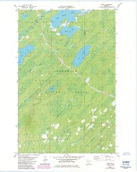
Editions of this 1981 Toimi Map
2 editions found
Other maps of this area

1951 · Babbitt SW
USGS Topo · 1:24,000

1952 · Babbitt SE
USGS Topo · 1:24,000

1953 · Whyte
USGS Topo · 1:62,500

1954 · Greenwood Lake
USGS Topo · 1:62,500

1954 · Two Harbors
USGS Topo · 1:250,000

1957 · Two Harbors
USGS Topo · 1:250,000

1957 · Brimson
USGS Topo · 1:62,500

1958 · Two Harbors
USGS Topo · 1:250,000

1964 · Two Harbors
USGS Topo · 1:250,000
1976 · Brimson SW
USGS Topo · 1:24,000