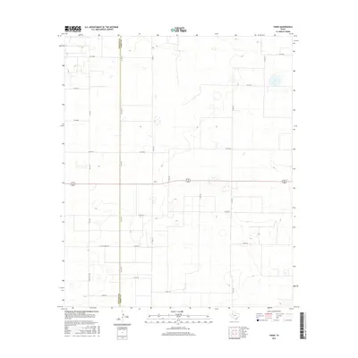
2016 Map of Tokio
USGS Topo · Published 2016About this map
Tokio serves as the central hub of this High Plains landscape, situated along the straight-line boundary of Yoakum Co Terry Co. The area is defined by a rigorous grid of section-line roads, such as Co Line Rd and Co Rd 430, which facilitate movement through a region dominated by agricultural patterns and ephemeral wet-weather basins. The infrastructure reflects a deep reliance on the land's geometry, with long-distance routes like Fm 1780 and 82 380 cutting across the plains to connect this pocket of the South Plains to broader regional networks. Local nomenclature, seen in roads like 4-Mile Lateral Rd, suggests the orderly management of the terrain, while the sparse distribution of named settlements emphasizes the rural character of the West Texas panhandle during this period.
Find a feature on this map
24 named features on this map. Tap any name to fly to it.
Don’t see what you’re looking for? This feature index may not catch every label — zoom into the map to look around manually.
Map Details
Editions of this 2016 Tokio Map
This is the sole edition of this map. No revisions or reprints were ever made.
Other maps of this area

1954 · Brownfield
USGS Topo · 1:250,000

1958 · Brownfield
USGS Topo · 1:250,000

1962 · Brownfield
USGS Topo · 1:250,000
1969 · Gomez
USGS Topo · 1:24,000
1969 · Plains 1 SE
USGS Topo · 1:24,000
1969 · Pool
USGS Topo · 1:24,000
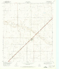
1969 · Wellman
USGS Topo · 1:24,000
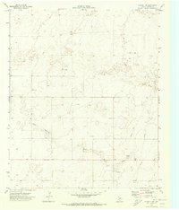
1970 · Plains 1 SW
USGS Topo · 1:24,000
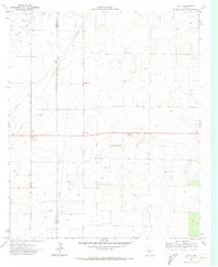
1970 · Tokio
USGS Topo · 1:24,000
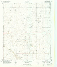
1970 · Tokio NW
USGS Topo · 1:24,000