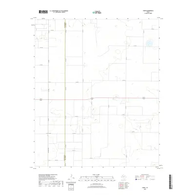
2019 Map of Tokio
USGS Topo · Published 2019About this map
The Yoakum Co Terry Co boundary bisects this West Texas landscape, defined by a rigid grid of rural infrastructure and agricultural transport routes. This 2019 survey captures the area at the intersection of 82 380 and Fm 1780, showcasing a territory partitioned into large agricultural tracts. The geography is marked by the presence of ephemeral water features and the complex network of county roads like Co Rd 180 and Co Rd 410 that facilitate movement across the plains. Distinctive local markers such as 4-Mile Lateral Rd and Ranch Rd 1780 indicate the region's long-standing connection to ranching and systematic land management. The placement of Co Line Rd directly along the geopolitical divide highlights how administrative boundaries have dictated the physical development of the high plains road system.
Find a feature on this map
23 named features on this map. Tap any name to fly to it.
Don’t see what you’re looking for? This feature index may not catch every label — zoom into the map to look around manually.
Map Details
Editions of this 2019 Tokio Map
This is the sole edition of this map. No revisions or reprints were ever made.
Other maps of this area

1954 · Brownfield
USGS Topo · 1:250,000

1958 · Brownfield
USGS Topo · 1:250,000

1962 · Brownfield
USGS Topo · 1:250,000
1969 · Gomez
USGS Topo · 1:24,000
1969 · Plains 1 SE
USGS Topo · 1:24,000
1969 · Pool
USGS Topo · 1:24,000
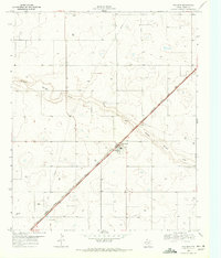
1969 · Wellman
USGS Topo · 1:24,000
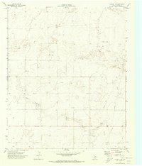
1970 · Plains 1 SW
USGS Topo · 1:24,000
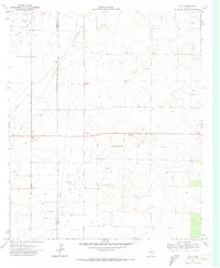
1970 · Tokio
USGS Topo · 1:24,000
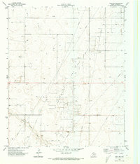
1970 · Tokio NW
USGS Topo · 1:24,000