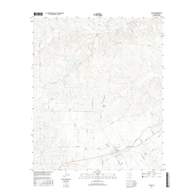
2016 Map of Tolar
USGS Topo · Published 2016About this map
Tolar sits at the junction of several rural routes including the Tolar Hwy and Rock Church Hwy, serving as a central hub for the surrounding ranchlands and creek valleys. For genealogists, the map provides precise locations for numerous family and community burial grounds, such as Strouds Creek Cem and Asbury Cem, which are often difficult to locate on modern road maps. The landscape is defined by a dense network of watercourses, including the winding Strouds Cr and Robinson Cr, which feed several small reservoirs like Star Hollow Lake and Aldenhoven Lake. This 2016 survey documents the modern road system, from established routes like Lipan Hwy to smaller residential developments like W Stone Hill Ct, reflecting the ongoing character of this Hood County community.
Find a feature on this map
55 named features on this map. Tap any name to fly to it.
Don’t see what you’re looking for? This feature index may not catch every label — zoom into the map to look around manually.
Map Details
Editions of this 2016 Tolar Map
This is the sole edition of this map. No revisions or reprints were ever made.
Other maps of this area

1889 · Granbury
USGS Topo · 1:125,000

1890 · Stephenville
USGS Topo · 1:125,000

1891 · Weatherford
USGS Topo · 1:125,000

1891 · Palo Pinto
USGS Topo · 1:125,000

1893 · Weatherford
USGS Topo · 1:125,000

1918 · Palo Pinto
USGS Topo · 1:125,000

1920 · Stephenville
USGS Topo · 1:125,000

1923 · Granbury 2-a
USGS Topo · 1:48,000

1924 · Weatherford 3-d
USGS Topo · 1:48,000

1931 · Dennis
USGS Topo · 1:62,500