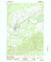
1984 Map of Toledo
USGS Topo · Published 1984About this map
Cowlitz River waters dominate this landscape as it meanders through the heart of Lewis County, just before crossing the border into Cowlitz County to the south. The settlement of Toledo sits at a prominent bend in the river, serving as a hub for the surrounding agricultural plains of Layton Prairie. To the north, the Toledo-Winlock Airport and the historic St Francis Xavier Mission (Site) signify the area's development from an early mission outpost to a modern transit point. The map reveals a transition from these flat, open prairies to the more complex terrain of Smokey Valley and the winding course of Salmon Creek. This 1980s-era survey documents a mix of legacy landmarks like Lone Hill Cemetery and Little Kentucky alongside modern infrastructure such as the numerous underground pipelines that traverse the rural landscape.
Find a feature on this map
48 named features on this map. Tap any name to fly to it.
Don’t see what you’re looking for? This feature index may not catch every label — zoom into the map to look around manually.
Map Details
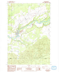
Editions of this 1984 Toledo Map
2 editions found
Other maps of this area

1916 · Chehalis
USGS Topo · 1:125,000

1941 · Olequa
USGS Topo · 1:62,500

1942 · Toutle
USGS Topo · 1:62,500

1943 · Willapa
USGS Topo · 1:62,500

1953 · Hoquiam
USGS Topo · 1:250,000

1953 · Toutle
USGS Topo · 1:62,500

1953 · Castle Rock
USGS Topo · 1:62,500

1954 · Onalaska
USGS Topo · 1:62,500

1954 · Centralia
USGS Topo · 1:62,500

1957 · Hoquiam
USGS Topo · 1:250,000