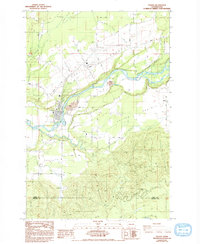
1984 Map of Toledo
USGS Topo · Published 1993About this map
Cowlitz River meanders through the heart of this landscape, defining the rich agricultural flats of Cowlitz Prairie and Layton Prairie. The settlement of Toledo sits at a critical bend in the river, showing a developed street grid and the nearby Sewage Disposal infrastructure of a modernizing community. Historical depth is evident at the St Francis Xavier Mission (Site) and the Lone Hill Cemetery, marking early centers of religious and civic life in the valley. The presence of the Toledo-Winlock Airport and several prominent Gravel Pit operations near the riverbanks suggests an economy shifting toward regional transportation and resource extraction. The southern portion of the sheet transitions into the more dissected terrain of Smokey Valley, where Salmon Creek and Little Salmon Creek drain toward a pronounced Horseshoe Bend on the Lewis and Cowlitz county line.
Find a feature on this map
35 named features on this map. Tap any name to fly to it.
Don’t see what you’re looking for? This feature index may not catch every label — zoom into the map to look around manually.
Map Details
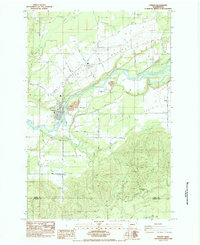
Editions of this 1984 Toledo Map
2 editions found
Other maps of this area

1916 · Chehalis
USGS Topo · 1:125,000

1941 · Olequa
USGS Topo · 1:62,500

1942 · Toutle
USGS Topo · 1:62,500

1943 · Willapa
USGS Topo · 1:62,500

1953 · Hoquiam
USGS Topo · 1:250,000

1953 · Toutle
USGS Topo · 1:62,500

1953 · Castle Rock
USGS Topo · 1:62,500

1954 · Onalaska
USGS Topo · 1:62,500

1954 · Centralia
USGS Topo · 1:62,500

1957 · Hoquiam
USGS Topo · 1:250,000