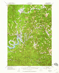
1957 Map of Toledo
USGS Topo · Published 1960About this map
The winding Siletz River and Yaquina River define the logging and maritime landscape of central Lincoln County in the late 1950s. At the heart of the coastal activity, Toledo sits at the junction of the Southern Pacific railroad and the upper reaches of Yaquina Bay. The map documents a transition from industrial riverfronts to the dense timberlands of the Siuslaw National Forest, where a Logging Railroad once pushed deep into the hills north of Siletz.
Find a feature on this map
44 named features on this map. Tap any name to fly to it.
Don’t see what you’re looking for? This feature index may not catch every label — zoom into the map to look around manually.
Map Details
Editions of this 1957 Toledo Map
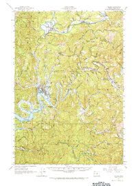
2 editions found
Other maps of this area

1922 · Waldport
USGS Topo · 1:62,500

1939 · Marys Peak
USGS Topo · 1:62,500

1941 · Cape Foulweather
USGS Topo · 1:62,500

1942 · Euchre Mtn
USGS Topo · 1:62,500

1942 · Marys Peak
USGS Topo · 1:62,500

1942 · Alsea
USGS Topo · 1:62,500

1942 · Waldport
USGS Topo · 1:62,500

1942 · Yaquina
USGS Topo · 1:62,500

1942 · Valsetz
USGS Topo · 1:62,500

1942 · Tidewater
USGS Topo · 1:62,500