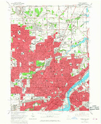
1965 Map of Toledo
USGS Topo · Published 1968About this map
The Maumee River and Swan Creek converge at the heart of Toledo, anchoring a dense mid-century industrial and civic hub. This 1965 revision captures the city’s extensive social infrastructure, from the sprawling campus of Toledo University to the Museum of Art and numerous parochial institutions like St Clements Sch and Gesu Sch. The landscape is deeply carved by historical transportation corridors, including the Ann Arbor RR and the Toledo Terminal, which facilitated the flow of goods through neighborhoods like Nasby and Hallett.
Find a feature on this map
60 named features on this map. Tap any name to fly to it.
Don’t see what you’re looking for? This feature index may not catch every label — zoom into the map to look around manually.
Map Details
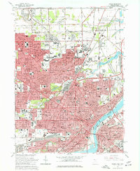
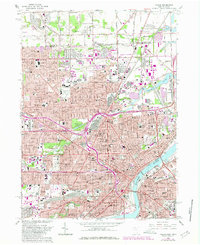
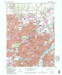
Editions of this 1965 Toledo Map
4 editions found
Other maps of this area

1900 · Maumee Bay
USGS Topo · 1:62,500

1900 · Toledo
USGS Topo · 1:62,500

1912 · Monroe
USGS Topo · 1:62,500

1912 · Dundee
USGS Topo · 1:62,500

1914 · Monroe
USGS Topo · 1:62,500

1926 · Dundee
USGS Topo · 1:62,500

1934 · Point Place
USGS Topo · 1:24,000

1934 · Rossford
USGS Topo · 1:24,000

1935 · Walbridge
USGS Topo · 1:24,000

1935 · Maumee
USGS Topo · 1:24,000