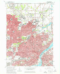
1965 Map of Toledo
USGS Topo · Published 1977About this map
The industrial and civic core of Toledo is defined here by the confluence of the Maumee River and Ottawa River, showing the city's complex mid-century infrastructure. This 1965 revision captures a landscape densely packed with neighborhood schools and parishes, from DeVilbiss High Sch to St Michaels Sch. The map preserves the alignment of the Twelvemile Reservation boundary, a significant historical surveyor's line that cuts through the urban grid.
Find a feature on this map
119 named features on this map. Tap any name to fly to it.
Don’t see what you’re looking for? This feature index may not catch every label — zoom into the map to look around manually.
Map Details
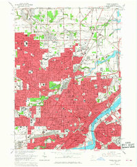
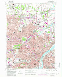
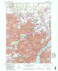
Editions of this 1965 Toledo Map
4 editions found
Other maps of this area

1900 · Maumee Bay
USGS Topo · 1:62,500

1900 · Toledo
USGS Topo · 1:62,500

1912 · Monroe
USGS Topo · 1:62,500

1912 · Dundee
USGS Topo · 1:62,500

1914 · Monroe
USGS Topo · 1:62,500

1926 · Dundee
USGS Topo · 1:62,500

1934 · Point Place
USGS Topo · 1:24,000

1934 · Rossford
USGS Topo · 1:24,000

1935 · Walbridge
USGS Topo · 1:24,000

1935 · Maumee
USGS Topo · 1:24,000