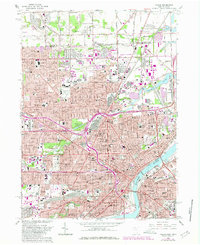
1965 Map of Toledo
USGS Topo · Published 1980About this map
The Maumee River serves as the industrial and logistical spine of this urban landscape, where extensive rail networks like Conrail and the Terminal converge near the Ottawa River. The city of Toledo is deeply established here, evidenced by the dense grid of neighborhoods surrounding the Twelvemile Square Reservation and the prominent Anthony Wayne Bridge. Educational and religious institutions are particularly well-documented, from Mary Manse College and the Museum of Art to numerous parochial schools including St Francis de Sales High Sch and St Stanislaus Sch. Large-scale green spaces and hallowed ground like Woodlawn Cemetery, Forest Cemetery, and Ottawa Park provide a counterpoint to the heavy transit infrastructure and commercial corridors. This 1965 revision, published in 1980, captures the city at its peak industrial maturity before late-century shifts changed the waterfront.
Find a feature on this map
97 named features on this map. Tap any name to fly to it.
Don’t see what you’re looking for? This feature index may not catch every label — zoom into the map to look around manually.
Map Details
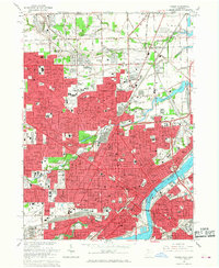
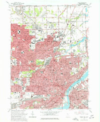
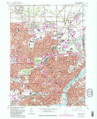
Editions of this 1965 Toledo Map
4 editions found
Other maps of this area

1900 · Maumee Bay
USGS Topo · 1:62,500

1900 · Toledo
USGS Topo · 1:62,500

1912 · Monroe
USGS Topo · 1:62,500

1912 · Dundee
USGS Topo · 1:62,500

1914 · Monroe
USGS Topo · 1:62,500

1926 · Dundee
USGS Topo · 1:62,500

1934 · Point Place
USGS Topo · 1:24,000

1934 · Rossford
USGS Topo · 1:24,000

1935 · Walbridge
USGS Topo · 1:24,000

1935 · Maumee
USGS Topo · 1:24,000