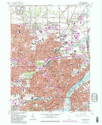
1965 Map of Toledo
USGS Topo · Published 1980About this map
The Maumee River and the Ottawa River anchor this mid-century survey of Toledo, which reflects the city's complex industrial and social landscape as it appeared in the 1960s. The heavy concentration of religious and educational institutions, such as Mary Manse College and the Museum of Art, highlights the established community centers of the era. The mapping shows an extensive transportation network where the Toledo Terminal and Norfolk and Western railroads converge at vital points like Air Line Junction. Significant burial grounds, including the expansive Woodlawn Cemetery and Forest Cemetery, serve as landmarks among the dense residential grids. The urban structure is further defined by major crossings like the Anthony Wayne Bridge, while the northern portion tracks the Michigan-Ohio state line and the transition toward Liberty Corners.
Find a feature on this map
134 named features on this map. Tap any name to fly to it.
Don’t see what you’re looking for? This feature index may not catch every label — zoom into the map to look around manually.
Map Details
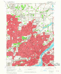
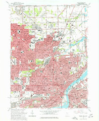
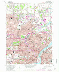
Editions of this 1965 Toledo Map
4 editions found
Other maps of this area

1900 · Maumee Bay
USGS Topo · 1:62,500

1900 · Toledo
USGS Topo · 1:62,500

1912 · Monroe
USGS Topo · 1:62,500

1912 · Dundee
USGS Topo · 1:62,500

1914 · Monroe
USGS Topo · 1:62,500

1926 · Dundee
USGS Topo · 1:62,500

1934 · Point Place
USGS Topo · 1:24,000

1934 · Rossford
USGS Topo · 1:24,000

1935 · Walbridge
USGS Topo · 1:24,000

1935 · Maumee
USGS Topo · 1:24,000