
Loading...
Loading map...1916 Map of Tomah
USGS Topo · Published 1927About this map
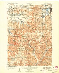
Tomah serves as a major hub in this 1914 survey of Monroe County, situated at the confluence of the Chicago and Northwestern and Chicago Milwaukee and St Paul railroads. To the west, the Sparta Target Range Military Reservation occupies a significant portion of the northern townships, highlighting the region's early 20th-century strategic importance. The topography is defined by complex valley systems such as Leon Valley and Dorset Valley, separated by notable overlooks including Windrow Bluff and Limekiln Hill.
Find a feature on this map
79 named features on this map. Tap any name to fly to it.
Don’t see what you’re looking for? This feature index may not catch every label — zoom into the map to look around manually.
Map Details
Date Portrayed1916
Date Published1927
PublisherU.S. Geological Survey
Map TypeTopographic
Scale1:62,500
Physical Dimensions16.83 x 20.35 inches
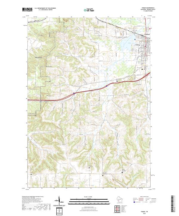
Editions of this 1916 Tomah Map
2 editions found

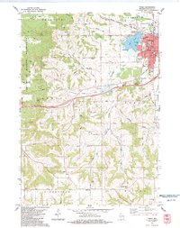
Historical Maps of Tomah Through Time
4 maps found
Featured Locations
Source Details
SourceU.S. Geological Survey
CopyrightPublic Domain