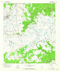
1962 Map of Tomball
USGS Topo · Published 1964About this map
The Hufsmith Oil Field and Southeast Tomball Oil Field dominate this Harris County landscape, marking an era when petroleum infrastructure was deeply integrated with rural Texas life. Scores of wells and pipelines crisscross the terrain between the settlements of Hufsmith and Tomball, where the Missouri Pacific railroad cuts a diagonal path toward the coast. The map preserves the locations of several family and community landmarks, including Huckabee Cem, Pillot Cem, and the Klein Cem, which reflect the area's early agricultural roots.
Find a feature on this map
53 named features on this map. Tap any name to fly to it.
Don’t see what you’re looking for? This feature index may not catch every label — zoom into the map to look around manually.
Map Details
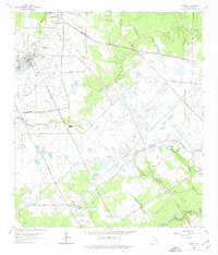
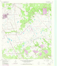
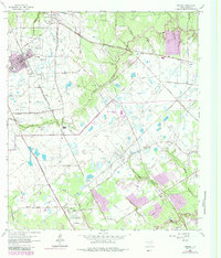
Editions of this 1962 Tomball Map
4 editions found
Other maps of this area

1915 · Cypress
USGS Topo · 1:24,000

1916 · Rose Hill
USGS Topo · 1:24,000

1916 · Aldine
USGS Topo · 1:24,000

1916 · Louetta
USGS Topo · 1:24,000

1916 · Satsuma
USGS Topo · 1:24,000

1916 · Spring
USGS Topo · 1:24,000

1918 · Cypress
USGS Topo · 1:31,680

1919 · Aldine
USGS Topo · 1:31,680

1920 · Spring
USGS Topo · 1:31,680

1920 · Rose Hill
USGS Topo · 1:31,680