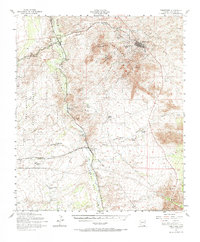
1952 Map of Tombstone
USGS Topo · Published 1968About this map
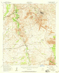
Tombstone and the surrounding high desert of Cochise County are captured here in the early 1950s, centered on the mining legacy of the Tombstone Hills. The map details the famous Boothill Cem just north of town, while the southern landscape is dominated by the Mule Mts and the sprawling Fort Huachuca Military Reservation to the west. Along the San Pedro River, several historic rail-linked settlements appear, including Fairbank and Charleston, the latter situated near an Old RR Grade that traces the valley's industrial past.
Find a feature on this map
44 named features on this map. Tap any name to fly to it.
Don’t see what you’re looking for? This feature index may not catch every label — zoom into the map to look around manually.
Map Details
Editions of this 1952 Tombstone Map
2 editions found
Other maps of this area

1902 · Bisbee
USGS Topo · 1:62,500

1910 · Bisbee
USGS Topo · 1:62,500

1914 · Hereford
USGS Topo · 1:125,000

1915 · Benson
USGS Topo · 1:125,000

1916 · Pearce
USGS Topo · 1:125,000

1916 · Douglas
USGS Topo · 1:125,000

1919 · Douglas
USGS Topo · 1:125,000

1922 · Sunnyside
USGS Topo · 1:62,500

1922 · St. David
USGS Topo · 1:62,500

1925 · Gleeson
USGS Topo · 1:62,500